 placenames
Cappanawalla
Ceapaigh an Bhaile
Cappanawalla’s limestone uplands preserve field boundaries and winter grazing grounds, while pollen research reveals woodland that has long disappeared.
The name
These Irish name elements are associated with this record in the Logainm glossary.
An element’s translation is a clue, rather than a complete explanation of the name. Its form and meaning depend on local history and the full Irish name.
Recorded forms
- Ceapaigh an Bhaile · Irish · main form · non-validated name
- Cappanawalla · English · main form
Place & story
Limestone pavement and winterage
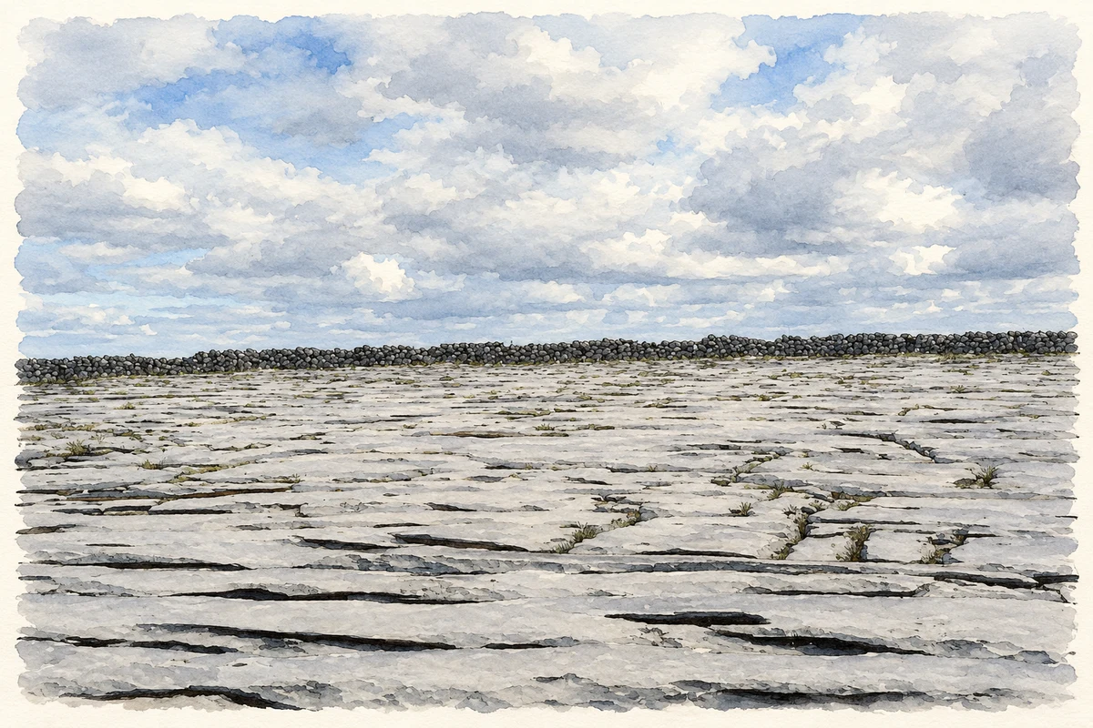
Cappanawalla's plateau rises to around 300 metres, with limestone pavement broken by deep fissures and pockets of shallow soil and peat. Ingo Feeser and Michael O'Connell's 2009 field study records winter grazing, chiefly by cattle, as part of the Burren practice known as winterage. Heather, mountain avens, bearberry and crowberry occur within its varied upland vegetation. [2]
Walls, enclosures and cattle shelters
The researchers recorded a ringfort approximately twenty metres across, a cairn and stone enclosures containing possible hut sites. Low, older walls survive beneath taller boundaries of more recent construction. Short stretches of wall also provided windbreaks for cattle on the exposed summit. These different structures preserve evidence of land management across several periods, although individual dates remain uncertain. [2]
Pollen evidence for vanished woodland
Pollen preserved in Cappanawalla's deposits indicates open pine and hazel woodland during the Bronze Age and early Iron Age. The study traces later woodland decline, followed by stronger human influence around AD 1700 as grassland expanded. Woody vegetation began recovering in the nineteenth century. This environmental record reveals changes that cannot be read from the bare limestone surface alone. [2]
Geographic information
- Place type
- Population centre
- County
- Clare
- Barony
- Burren
- Civil parish
- Rathborney
- Within
- Feenagh
- Coordinates
- 53.12162, -9.19831
- Logainm ID
- 101076 ↗
Sources & further reading
- Logainm.ie — Cappanawalla. Place names and geographic record, licensed under CC BY 4.0.
- Fresh insights into long-term changes in flora,vegetation,land use and soil erosion in the karstic environment of the Burren,western Ireland,Journal of Ecology97,2009,1083–1100 · Ingo Feeser and Michael O’Connell
- Limestone pavement on Cappanawalla illustration: based on a Limestone landscape on Cappanawalla by Dr Charles Nelson. AI-assisted watercolour and ink adaptation; cream paper margins added, incidental clutter omitted and fine details simplified. Licence: CC BY-SA 2.0.
Name record retrieved 2026-10-25 · Source record modified 2026-06-17. How this page was prepared.