 placenames
Cranmore
An Crann Mór
Cranmore’s recent history is recorded in its housing layout, residents’ co-operative and investigations made during regeneration.
The name
These Irish name elements are associated with this record in the Logainm glossary.
An element’s translation is a clue, rather than a complete explanation of the name. Its form and meaning depend on local history and the full Irish name.
Recorded forms
- An Crann Mór · Irish · main form · non-validated name
- Cranmore · English · main form
Place & story
An estate built in phases
Cranmore's housing estate developed in stages from 1972 to the early 1980s. The council's regeneration masterplan maps five phases: the first in 1972, two in 1976, another in 1977 and the final phase in 1980–82. Around five hundred homes were originally constructed on a forty-five-acre site. This phased development created a substantial residential community on Sligo's eastern side, rather than a single building project completed at once. [2]
Residents organise a voice
Cranmore Community Co-op grew from a Community Platform established during the regeneration process begun in 2004. The platform gave residents a forum for decisions affecting their neighbourhood; the organisation incorporated as a co-operative in 2007. Its work later expanded into youth services, community development and a garden with a water project. The co-op's own history documents residents' involvement in shaping the area's renewal. [3]
Testing the landscaped mounds
A possible ringfort near John Fallon Drive and Devins Drive prompted archaeological testing in May 2008. Four trenches and five trial pits investigated two grass-covered mounds. Archaeologist Aaron Johnston reported no archaeological features or artefacts and found that both mounds had been extensively landscaped, possibly during estate construction. The investigation leaves the earlier recorded monument uncertain; the visible mounds alone cannot establish an ancient fort. [4]
Geographic information
- Place type
- Population centre
- County
- Sligo
- Barony
- Carbury
- Civil parish
- Saint John's
- Within
- Abbeyquarter North
- Within
- Abbeyquarter South
- Coordinates
- 54.26787, -8.46039
- Logainm ID
- 112031 ↗
Sources & further reading
- Logainm.ie — Cranmore. Place names and geographic record, licensed under CC BY 4.0.
- East City, Cranmore and Environs Regeneration Masterplan: Appendix B, pp 43–45 · Sligo County Council
- Our Story · Cranmore Community Co-operative Society
- 2008:1073 – Sligo: Abbeyquarter South · Aaron Johnston, Archaeological Development Services; Excavations.ie
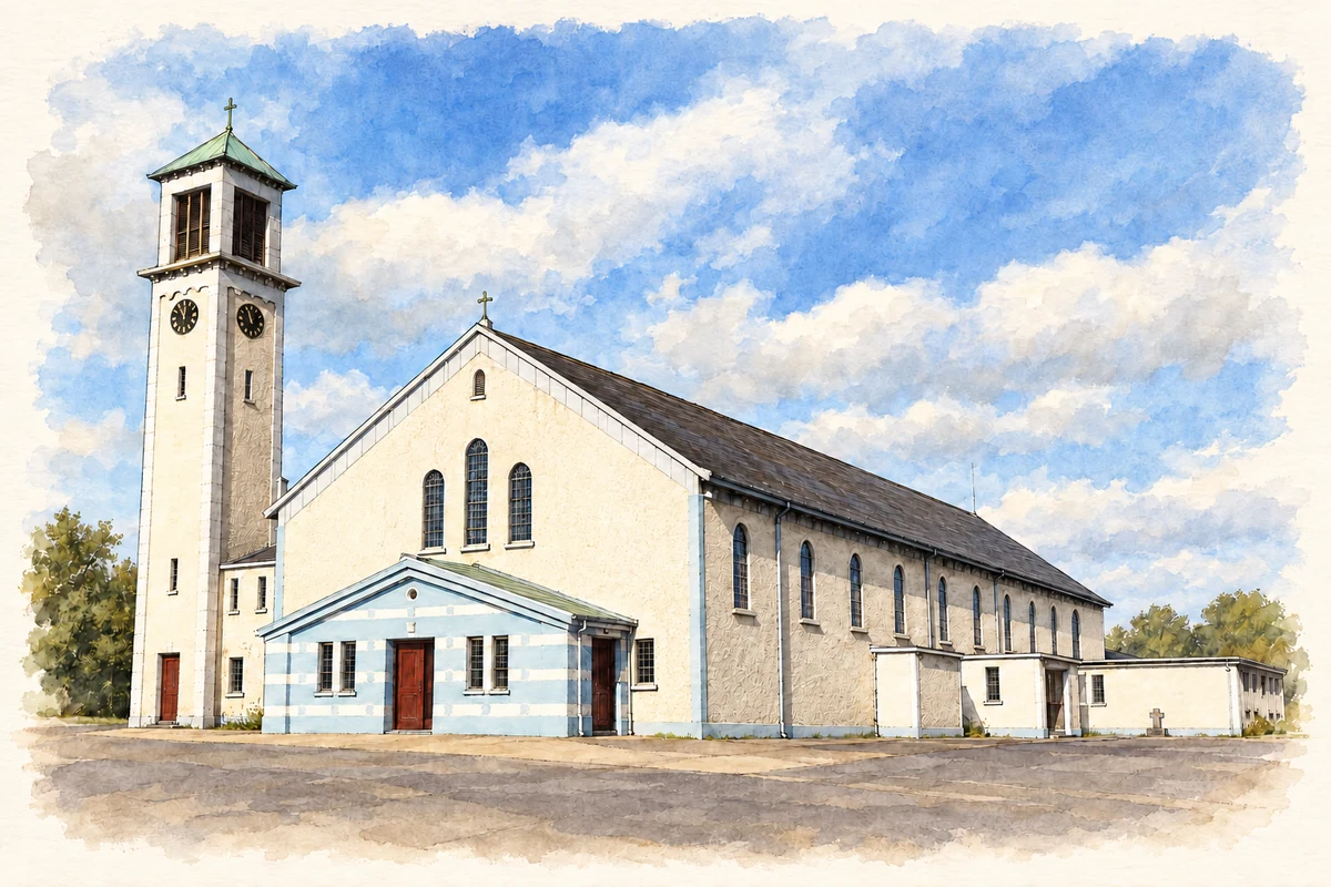
- St Anne's Church, Cranmore Road, Sligo illustration: based on a Photograph of St Anne's Church, Cranmore, Sligo by Djedi Guy. AI-assisted watercolour and ink adaptation; cream paper margins added, incidental clutter omitted and fine details simplified. Licence: CC BY-SA 4.0.
Name record retrieved 2026-10-25 · Source record modified 2026-06-09. How this page was prepared.