 placenames
Dry Mills
Dry Mills preserves an earlier name for the Mayo crossroads later known as Irishtown, with records reaching back before the Land War.
The name
A reliable full-name meaning has not been established here. The recorded Irish and English forms are given without an unsupported translation.
Recorded forms
- Dry Mills · English · main form
Place & story
The older crossroads name
Dry Mills, also written Drymills, was the older name of the crossroads now generally known as Irishtown in County Mayo. Frank McNally's examination of the placename in 2023 connects it with a mill dating from the eighteenth century or earlier. The Placenames Database retains Dry Mills as a separate population-centre record in Ballinvilla townland, Kilvine parish. [2] [3]
A chapel gathering in December 1819
A letter written by magistrate Denis Browne in December 1819 records a gathering at Drymills during fears of rural unrest. Browne claimed to have met a large crowd with its priest and sworn six recommended Catholic men as special constables at the chapel altar. Historian Gordon Kennedy reproduces the letter while questioning Browne's inflated presentation of popular loyalty. The account documents an earlier political gathering under the old placename. [4]
Andrew Mullarkey and the name Irishtown
Shopkeeper and nationalist Andrew Mullarkey was credited with promoting the name Irishtown after the tenants' meeting of 1879. McNally traced this association through local newspaper reports and later family correspondence, also noting eventual postal acceptance of the name. Mullarkey operated businesses both here and at Garrafrauns in Galway, where he promoted another commemorative name, Washington. The two campaigns connected commercial identity with political memory. [5]
Geographic information
- Place type
- Population centre
- County
- Mayo
- Barony
- Clanmorris
- Civil parish
- Kilvine
- Within
- Kilvine
- Within
- Ballinvilla
- Coordinates
- 53.66275, -8.89040
- Logainm ID
- 114194 ↗
Sources & further reading
- Logainm.ie — Dry Mills. Place names and geographic record, licensed under CC BY 4.0.
- Outandproud:themanyIrishtownsofIreland,16March2023 · Frank McNally,The Irish Times
- DryMills,canonicalrecord114194 · Placenames Branch,Government of Ireland,DCU
- TheBrownesofWestportHouse:AristocracyPoliticsandtheExerciseofPowerinCountyMayo1780–1830,2009,pp140–141 · Gordon Kennedy,Dublin City University
- ConnachtCapitol:Ireland’slittle-knownWashington,22March2023 · Frank McNally,The Irish Times
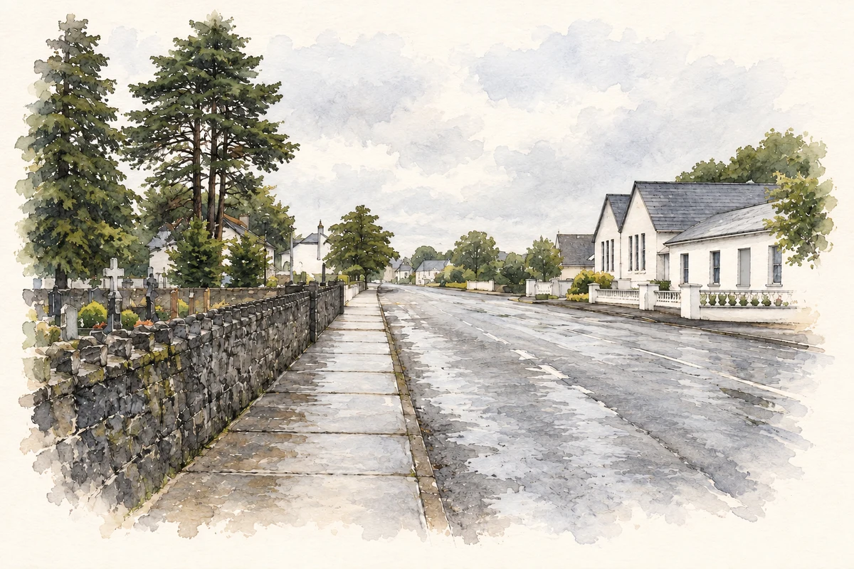
- Main street of Irishtown (Dry Mills), as photographed in2014 illustration: based on a The main street of Irishtown by David Purchase. AI-assisted watercolour and ink adaptation; cream paper margins added, incidental clutter omitted and fine details simplified. Licence: CC BY-SA 2.0.
Name record retrieved 2026-10-25 · Source record modified 2026-08-24. How this page was prepared.