These Irish name elements are associated with this record in the Logainm glossary.
An element’s translation is a clue, rather than a complete explanation of the name. Its form and meaning depend on local history and the full Irish name.
Recorded forms
Áth an Chóiste· Irish · main form · validated name
Coachford· English · main form
Place & story
The village before the Famine
Coachford was already a recognised meeting place in January 1822, when a gathering at Magourney church referred to an earlier meeting there. Local historian Doug Lucey traces a cluster of services developing over the following two decades: a sub-post office by 1833, a loan fund society in 1839–40, and a national school ready for occupation in January 1843. The loan fund office also hosted presentment sessions. These institutions show a village becoming a centre for the surrounding rural population before the Great Famine interrupted its growth.[2]
A terminus on the Muskerry Tram
The Coachford extension of the Cork and Muskerry Light Railway opened in 1888, following the Cork–Blarney line of the previous year. Inniscarra Historical Society’s account identifies Coachford and Peake as important goods stations handling coal, grain and livestock. The railway connected the district’s agricultural trade with Cork and helped sustain local fairs. Coachford belonged to a branching narrow-gauge network that also reached Donoughmore, rather than to the separate Cork–Macroom railway.[3]
People & connections
Memory in Christchurch graveyard
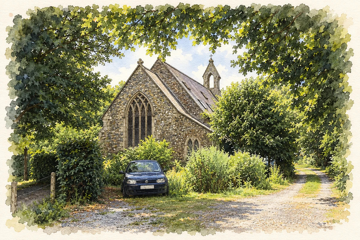
The graveyard behind the former Christchurch at Magourney, near Coachford, contains memorials that link local families with military service abroad. Anthony Greene’s survey distinguishes commemoration from burial: William Leader, killed in 1914, is remembered on the Leader family monument but is buried at Le Grand Fayt in France. The Reverend Richard Thomas Hayes, who oversaw the laying out of the cemetery, lies there with two sons. One, naval lieutenant Henry Hayes, was its first burial.[4]
Both counts use the 2016 settlement boundary, allowing like-for-like comparison. CSO supplies the 2022 count on this older boundary for comparison only. The official 2022 Built Up Area has different boundaries.
View population figures
Coachford — Census 2016 settlement footprint — census population
These are the historical areas published in the 2006 census report. Boundaries may differ between censuses and from modern settlements. Legal towns, environs and suburbs are shown separately; none has been combined into a modern settlement total.
View population figures
Coachford, Cork — Census town, CSO 2006 report — census population
These are the historical areas published in the 1996 census report. Boundaries may differ between censuses and from modern settlements. Legal towns, environs and suburbs are shown separately; none has been combined into a modern settlement total.
View population figures
Coachford, Cork — Census town, CSO 1996 report — census population
Figures cover the historical town area printed in the 1986 report. Boundaries may have changed between censuses. Legal town, environs and suburb totals remain separate and differ from modern settlement boundaries.
View population figures
Coachford, Cork — Census town, CSO 1986 report — census population
These figures use different area definitions. Read the boundary note before comparing them.
Coachford, Cork
Published census settlement populations
408people · 2016
Settlement boundaries changed during this period. Differences may reflect boundary changes as well as population change. Where a 2011 legal-town-and-environs count is shown, it has not been recalculated onto the 2016 settlement boundary.
Former church, Coachford illustration: based on a Former church at Coachford by Jonathan Thacker. AI-assisted watercolour and ink adaptation; cream paper margins added, incidental clutter omitted and fine details simplified. Licence: CC BY-SA 2.0.
 placenames