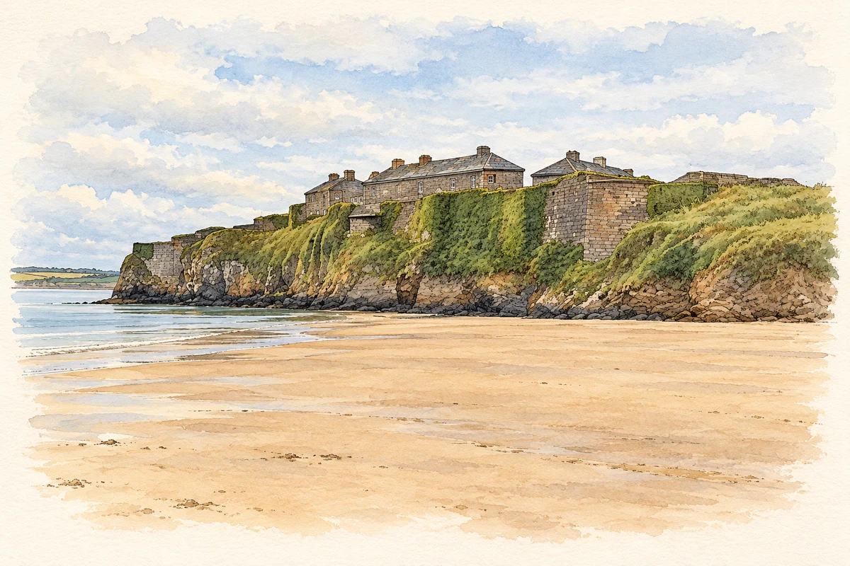
Duncannon's fort guarded the approaches to Waterford and New Ross, while fishing, coastal trade and the garrison sustained the village outside its gates.
Illustration, Duncannon Fort from the beach
⊕Recorded locationDuncannon52.22164° N · 6.92839° WInteractive map supplied by OpenStreetMap.
These Irish name elements are associated with this record in the Logainm glossary.
An element’s translation is a clue, rather than a complete explanation of the name. Its form and meaning depend on local history and the full Irish name.
Recorded forms
Dún Canann· Irish · main form · validated name
Duncannon· English · main form
Place & story
Defending the estuary
Duncannon Fort occupies a rocky promontory on the Wexford shore of Waterford Harbour. Its outer defences cut the headland off from the land, while sea batteries commanded the shipping channel. Construction began in 1587 during fears of Spanish invasion, incorporating an older castle. The fort's later buildings surround a parade ground. A 1611 map and letter by Sir Josias Bodley document improvements including a wider rampart, larger gun platforms and stone reinforcement of the cliffs.[2]
Siege and surrender
During the wars of the 1640s, Duncannon became both a military stronghold and a refuge. In 1645 Confederate forces under Thomas Preston besieged the garrison. A mine opened a breach near the northern sally port, and the defenders surrendered on 19 March. The Confederates retained the fort until the Cromwellian campaigns; it eventually fell in 1650. Its importance came from its command of the estuary, where control of the fort affected the supply and defence of Waterford and New Ross.[2]
The village in 1837
Samuel Lewis counted 560 inhabitants in a village chiefly formed by the street approaching the fort. Fishing and the garrison provided much of its livelihood. The quay exported pigs, butter and poultry and received coal; boats also dredged a substantial oyster bed below the fort. A mail car linked Duncannon with Fethard, Arthurstown and New Ross. Lewis noted a Catholic chapel and two recently built subscription schoolhouses, one of them for infants.[3]
Recovering the gun battery
Archaeological work has revealed how military alterations changed the fort. In 1993 the moat was cleared of material dumped there in the 1940s. Excavation in 1997 concentrated on the lower western battery, an early nineteenth-century position with a magazine and five gun openings. Volunteers removed rubble and exposed two complete gun emplacements, a firing step and a small ammunition store. The investigation also found foundations of a brick side-arms shed shown on an 1858 map.[4][5]
Both counts use the 2016 settlement boundary, allowing like-for-like comparison. CSO supplies the 2022 count on this older boundary for comparison only. The official 2022 Built Up Area has different boundaries.
View population figures
Duncannon — Census 2016 settlement footprint — census population
These are the historical areas published in the 2006 census report. Boundaries may differ between censuses and from modern settlements. Legal towns, environs and suburbs are shown separately; none has been combined into a modern settlement total.
View population figures
Duncannon, Wexford — Census town, CSO 2006 report — census population
These are the historical areas published in the 1996 census report. Boundaries may differ between censuses and from modern settlements. Legal towns, environs and suburbs are shown separately; none has been combined into a modern settlement total.
View population figures
Duncannon, Wexford — Census town, CSO 1996 report — census population
Figures cover the historical town area printed in the 1986 report. Boundaries may have changed between censuses. Legal town, environs and suburb totals remain separate and differ from modern settlement boundaries.
View population figures
Duncannon, Wexford — Census town, CSO 1986 report — census population
These figures use different area definitions. Read the boundary note before comparing them.
Duncannon, Wexford
Published census settlement populations
305people · 2016
Settlement boundaries changed during this period. Differences may reflect boundary changes as well as population change. Where a 2011 legal-town-and-environs count is shown, it has not been recalculated onto the 2016 settlement boundary.
 placenames