 placenames
Leathemstown
Baile Ladam
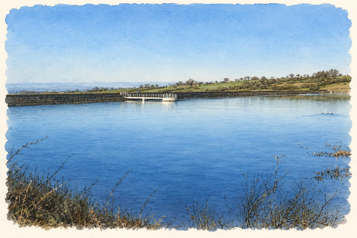
Leathemstown’s reservoir sits within a small Belfast Hills landscape recognised for its varied grasslands, wetlands and butterflies.
The name
These Irish name elements are associated with this record in the Logainm glossary.
An element’s translation is a clue, rather than a complete explanation of the name. Its form and meaning depend on local history and the full Irish name.
Recorded forms
- Baile Ladam · Irish · main form · non-validated name
- Leathemstown · English · main form
Place & story
Recognition of the grasslands
Leathemstown was declared an Area of Special Scientific Interest on 30 April 1997. The 44.7-hectare site surrounds the reservoir and preserves several kinds of species-rich grassland within a relatively small area. Its official citation relates this variety to soils formed from glacial deposits: some are acidic, while springs and surface water enrich poorly drained ground. These contrasting conditions support both drier pasture and wetter plant communities. [2]
A mosaic of habitats
The protected area includes grassland containing greater butterfly-orchid, wet ground with rushes and meadowsweet, and swamp vegetation around the reservoir edge. Scrub and a strip of woodland beside the outlet add further habitats, including a recorded population of the uncommon shady horsetail. The designation also records at least ten butterfly species, among them common blue, meadow brown and small heath. [2]
The reservoir after water supply ceased
By 2007 the reservoir had been taken out of service. InJuly 2016 NI Water reported falling water levels and explained that the reservoir would need to be almost empty before staff could inspect its tower. Silt had obstructed access to investigate the problem. The company worked with environmental and fisheries officials on moving fish to a local watercourse, while confirming that the incident did not affect customers’ water supplies. [3]
Geographic information
- Place type
- Population centre
- County
- Antrim
- Barony
- Massereene Upper
- Civil parish
- Derryaghy
- Civil parish
- Tullyrusk
- Within
- Ballymacward Lower
- Within
- Tullyrusk
- Coordinates
- 54.58419, -6.12125
- Logainm ID
- 1165088 ↗
Sources & further reading
- Logainm.ie — Leathemstown. Place names and geographic record, licensed under CC BY 4.0.
- Leathemstown Area of Special Scientific Interest: citation, management statement and map · Department of the Environment, Northern Ireland
- Essential Work Leathemstown Reservoir, Lisburn,1 July 2016 · Northern Ireland Water
- Leathemstown reservoir, as photographed in 2005 illustration: based on a Leathemstown reservoir by Brian Shaw. AI-assisted watercolour and ink adaptation; cream paper margins added, incidental clutter omitted and fine details simplified. Licence: CC BY-SA 2.0.
Name record retrieved 2026-10-25 · Source record modified 2026-07-20. How this page was prepared.