These Irish name elements are associated with this record in the Logainm glossary.
An element’s translation is a clue, rather than a complete explanation of the name. Its form and meaning depend on local history and the full Irish name.
Recorded forms
Áth an Choite· Irish · main form · validated name
Annacotty· English · main form
Place & story
Folklore & tradition
Anne and the little boat
The Ordnance Survey name book for Kilmurry, compiled around 1840, recorded a local belief that Annacotty Bridge took its name from a woman called Anne. In the story, she kept a small boat, or cot, on the river before the bridge was built. The same entry separately explains the Irish name as the ford of a little flat-bottomed boat. The survey therefore preserves both a linguistic explanation and a locally remembered personal story. It does not establish Anne as a documented historical resident or make her name the proven origin of the placename.[2]
Water power on the Mulkear
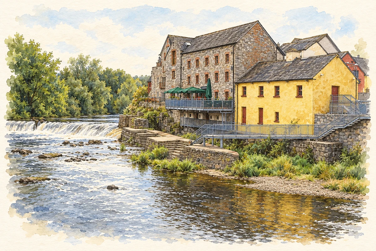
An underwater archaeological assessment in 2023 recorded Annacotty's weir, millrace and downstream road bridge. The V-shaped weir was associated with a late eighteenth-century corn mill on the west bank, on the site of a probable earlier paper mill. Its arrangement changed over time: the archaeologist identified likely alterations during nineteenth-century drainage works and a further reconfiguration connected with an Office of Public Works scheme in 1945. The millrace retains a headrace, sluice and bypass gate, although the undershot wheel it once supplied is no longer present.[3]
The bridges in successive surveys
The nineteenth-century name book describes a five-arched bridge paid for by the county, carrying the road between Limerick and Castleconnell across the parish boundary. The 2023 assessment records a masonry road bridge of probable early nineteenth-century date, later widened on both sides with concrete. Farther downstream stands another bridge, built in the 1980s for the N7 bypass. Together these records show how the same river crossing accommodated changing traffic, while the older route remained part of Annacotty's local street network.[2][3]
Both counts use the 2016 settlement boundary, allowing like-for-like comparison. CSO supplies the 2022 count on this older boundary for comparison only. The official 2022 Built Up Area has different boundaries.
View population figures
Annacotty — Census 2016 settlement footprint — census population
Annacotty, Limerick — Census town, CSO 2006 report
2002–2006: census town
1,839people · 2006
These are the historical areas published in the 2006 census report. Boundaries may differ between censuses and from modern settlements. Legal towns, environs and suburbs are shown separately; none has been combined into a modern settlement total.
View population figures
Annacotty, Limerick — Census town, CSO 2006 report — census population
Annacotty, Limerick — Census town, CSO 1996 report
1991–1996: census town
586people · 1996
These are the historical areas published in the 1996 census report. Boundaries may differ between censuses and from modern settlements. Legal towns, environs and suburbs are shown separately; none has been combined into a modern settlement total.
View population figures
Annacotty, Limerick — Census town, CSO 1996 report — census population
Annacotty, Limerick — Census town, CSO 1986 report
1981–1986: census town
532people · 1986
Figures cover the historical town area printed in the 1986 report. Boundaries may have changed between censuses. Legal town, environs and suburb totals remain separate and differ from modern settlement boundaries.
View population figures
Annacotty, Limerick — Census town, CSO 1986 report — census population
These figures use different area definitions. Read the boundary note before comparing them.
Annacotty, Limerick
Published census settlement populations
2,930people · 2016
Settlement boundaries changed during this period. Differences may reflect boundary changes as well as population change. Where a 2011 legal-town-and-environs count is shown, it has not been recalculated onto the 2016 settlement boundary.
Annacotty Mill and the River Mulkear illustration: based on a Annacotty, the Mill by Jim Cornwall. AI-assisted watercolour and ink adaptation; cream paper margins added, incidental clutter omitted and fine details simplified. Licence: CC BY-SA 2.0.
 placenames