These Irish name elements are associated with this record in the Logainm glossary.
An element’s translation is a clue, rather than a complete explanation of the name. Its form and meaning depend on local history and the full Irish name.
Recorded forms
Baile an Ridire· Irish · main form
Baile Ruairí· Irish · main form · historical name
Balrothery· English · main form
Place & story
Rosepark beneath the grass
Excavations at Rosepark revealed a defended hilltop settlement whose occupation extended from the Iron Age into the ninth century. Archaeologist Judith Carroll’s work uncovered seven souterrains: underground passages and chambers whose functions remain uncertain. Storage and shelter are possible uses, but the evidence does not identify exactly who occupied them. Fingal County Council records that much of the early medieval site remains preserved within Rosepark’s open space.[2]
The church and its older tower
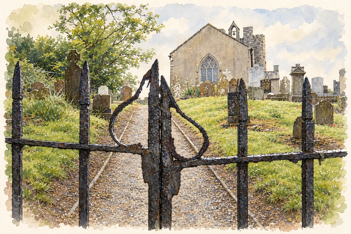
Saint Peter’s former Church of Ireland building combines an early nineteenth-century church with a much older western tower. The National Inventory of Architectural Heritage dates the tower to about 1500 and records its circular stair turret at the northwest corner. Pointed windows and stone hood mouldings distinguish the later church. This combination allows two periods of the site’s religious architecture to be read together, within a graveyard containing a variety of carved stone memorials.[3]
Cakes and the coaching road
Balrothery’s position on the Great North Road helped sustain a busy settlement. Local industries included distilling, tanning, weaving, chair making and biscuit production. During his visit in June 1783, antiquarian Austin Cooper singled out the village’s reputation for making cakes. Fingal County Council’s history links the later loss of importance to the diversion of the turnpike and mail-coach traffic through Balbriggan. The village’s fortunes were therefore tied to changing routes as well as to its own industries.[2]
Both counts use the 2016 settlement boundary, allowing like-for-like comparison. CSO supplies the 2022 count on this older boundary for comparison only. The official 2022 Built Up Area has different boundaries.
View population figures
Balrothery — Census 2016 settlement footprint — census population
These figures use different area definitions. Read the boundary note before comparing them.
Balrothery, Fingal
Published census settlement populations
2,017people · 2016
Settlement boundaries changed during this period. Differences may reflect boundary changes as well as population change. Where a 2011 legal-town-and-environs count is shown, it has not been recalculated onto the 2016 settlement boundary.
Church and graveyard, Balrothery, County Dublin illustration: based on a Iron gates and church at Balrothery by Jonathan Billinger. AI-assisted watercolour and ink adaptation; cream paper margins added, incidental clutter omitted and fine details simplified. Licence: CC BY-SA 2.0.
 placenames