 placenames
Ballinteer
Baile an tSaoir
Ballinteer’s twentieth-century growth brought new homes, a parish centre and a relocated school campus with an older work of stained glass.
The name
These Irish name elements are associated with this record in the Logainm glossary.
An element’s translation is a clue, rather than a complete explanation of the name. Its form and meaning depend on local history and the full Irish name.
Recorded forms
- Baile an tSaoir · Irish · main form · validated name
- Ballinteer · English · main form
Place & story
Ballinteer Gardens before the later estates
Ballinteer Gardens was an early stage in the area’s suburban development: the parish’s anniversary history records forty-one houses built in 1932 by the Irish Sailors and Soldiers Land Trust. The larger transformation came with the estates developed in the late 1960s and early 1970s, including Ludford, Woodpark, Broadford and Pine Valley. That history connects the arrival of many new residents directly with the need for schools and a church closer to their homes. [2]
A parish centre on former farmland
Land for a church and schools was bought in 1971, and construction of St John the Evangelist began the following May. The church occupied part of a former farmhouse site. It opened on 8 December 1973; Ballinteer was formally constituted as a parish from Dundrum in June 1974. These separate dates explain why the building’s anniversary and the administrative creation of the parish do not fall in the same year. [2] [3] [4]
Wesley’s move to Ballinteer
Wesley College’s new Ballinteer campus was officially opened in June 1969, after the school outgrew its premises on St Stephen’s Green. RTÉ’s contemporary report described six blocks connected by a covered promenade, designed by Michael Scott and Partners. Laboratories, a sports centre, a lecture theatre and an outdoor heated pool formed part of the new facilities. The move brought a long-established city school into the landscape of an expanding suburb. [5]
Fortitude returns to view
One older object survived Wesley’s move: A E Child’s stained-glass window Fortitude, commissioned in 1926 for the former school’s First World War memorial chapel. The window was saved when the chapel was demolished, then stored for decades. It found a new setting in the Ballinteer campus’s G B Shaw Auditorium and was restored and unveiled in November 2024. Its journey carries part of the school’s earlier history into its suburban home. [6]
Geographic information
Sources & further reading
- Logainm.ie — Ballinteer. Place names and geographic record, licensed under CC BY 4.0.
- The Area of Ballinteer: fiftieth-anniversary parish history · Ballinteer Parish
- Ballinteer Parish: church opening history · Ballinteer Parish
- Ballinteer: parish constituted June 1974 · Archdiocese of Dublin
- Wesley Moves to Ballinteer, report broadcast 7 June 1969 · RTÉ Archives
- Fortitude: the memorial window’s restoration and unveiling · Wesley College Alumni
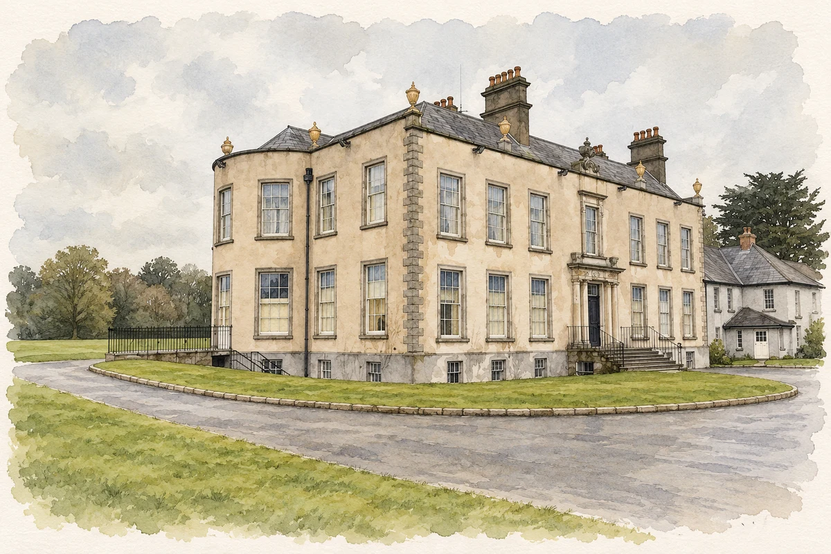
- Marlay House near Ballinteer, Dublin illustration: based on a Dublin-Marlay Park House by Ian Rob. AI-assisted watercolour and ink adaptation; cream paper margins added, incidental clutter omitted and fine details simplified. Licence: CC BY-SA 2.0.
Name record retrieved 2026-10-25 · Source record modified 2021-02-17. How this page was prepared.