 placenames
Balgriffin
Baile Ghrífín
Balgriffin’s history can be traced through archaeological sites near the Mayne and the churches and houses of its wider historic parish.
The name
These Irish name elements are associated with this record in the Logainm glossary.
An element’s translation is a clue, rather than a complete explanation of the name. Its form and meaning depend on local history and the full Irish name.
Recorded forms
- Baile Ghrífín · Irish · main form · validated name
- Balgriffin · English · main form
Place & story
The medieval settlement by the Mayne
Dublin City Council's local area plan identifies a former church site and a possible Norman castle site near the River Mayne. A fragment of a grave slab found at the church site in the 1940s entered the National Museum. No visible remains of the castle were recorded in the plan. The same account notes the later Balgriffin Park house, demolished in the 1960s after dereliction, with sections of estate wall surviving. [2]
Old and new at Saint Doulagh’s
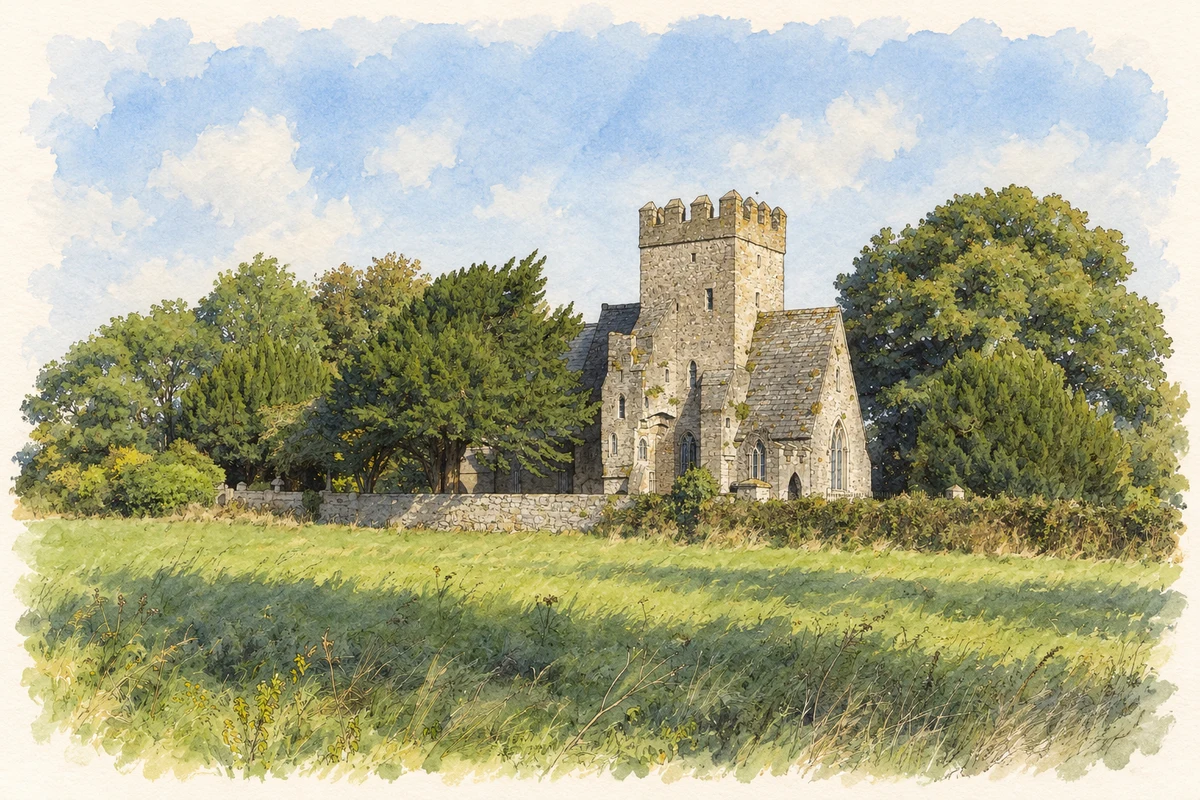
Saint Doulagh's, historically associated with Balgriffin, combines buildings from several periods. The architectural inventory dates the earlier church and tower to the twelfth and fifteenth centuries. A limestone church of 1864 was attached to this older group, with a three-bay nave and a separate chancel. Lord Talbot supported restoration to a design by W. H. Lynn. The resulting complex preserves successive approaches to providing a place of worship on the same site. [3]
The Rutherfoords at Wellfield
John and Sarah Rutherfoord lived at Saint Doulough's Lodge, later called Wellfield, from around 1800 until their deaths in 1835 and 1834 respectively. Malahide Historical Society's account, informed by family research, describes John as a Glasgow-born merchant and barrister who came to Dublin in 1775. His firm traded with Virginia and European ports. The house's later association with the Hone family places it within a wider cluster of country residences around Balgriffin. [4]
Geographic information
Sources & further reading
- Logainm.ie — Balgriffin. Place names and geographic record, licensed under CC BY 4.0.
- Clongriffin–Belmayne Local Area Plan: built heritage · Dublin City Council
- Saint Doolagh’s Church (Balgriffin), registration11350016 · National Inventory of Architectural Heritage
- The Rutherfoords of Saint Doulough’s Lodge, newsletter103, Spring2015, p.14 · Malahide Historical Society, incorporating information from Edward Rutherfoord
- Saint Doulagh's Church, near Balgriffin, County Dublin illustration: based on a County Dublin - St. Doulagh's Church - 20170913093008 by Cg.wiki. AI-assisted watercolour and ink adaptation; cream paper margins added, incidental clutter omitted and fine details simplified. Licence: CC BY-SA 4.0.

Name record retrieved 2026-10-25 · Source record modified 2021-02-17. How this page was prepared.