 placenames
Ballyrashane
Baile Ráth Singean
Linen weaving, dairying and a surviving former school illuminate the history of Ballyrashane and its surrounding parish.
The name
These Irish name elements are associated with this record in the Logainm glossary.
An element’s translation is a clue, rather than a complete explanation of the name. Its form and meaning depend on local history and the full Irish name.
Recorded forms
- Baile Ráth Singean · Irish · main form
- Ballyrashane · English · main form
Place & story
The working parish
Samuel Lewis’s 1837 survey describes Ballyrashane as a parish crossing the Antrim–Derry county boundary, with most of its land on the Derry side. Linen weaving was the principal occupation, supplemented by paper mills employing about thirty people. Wheat and barley had recently been introduced successfully, while detached areas of bog supplied fuel. Lewis also recorded the Church of Ireland church built in 1826 with a £900 Board of First Fruits grant, and the neighbouring glebe house of 1828. These details concern the wider parish rather than a compact village. [2]
A Presbyterian school
Ballyrashane Presbyterian church built a school in 1897 at the junction of Ballyrashane Road and Creamery Road. Official building research distinguishes the teacher’s accommodation on the left from the classrooms on the right, with a sexton’s house formerly behind. John McDowell was the first teacher, succeeded in 1926 by E. J. McIvor. A replacement school opened in 1955; the older building subsequently served as a church hall and became a private house. Its gables, attic dormers and brick detailing retain the outline of an Arts and Crafts schoolhouse, despite extensive alterations. [3]
The creamery connection
Ballyrashane Creamery dates its establishment to 1896. In its 130th-anniversary account, Lakeland Dairies emphasises the continuing connection between the site and milk supplied by farms in the Causeway Coast and Glens. Butter, cream and drinking milk became products associated with the Ballyrashane name. The creamery adds a later industrial strand to the agricultural and textile economy recorded in the nineteenth-century parish. [4]
Geographic information
Sources & further reading
- Logainm.ie — Ballyrashane. Place names and geographic record, licensed under CC BY 4.0.
- Ballyrashane, A Topographical Dictionary of Ireland, 1837 · Samuel Lewis
- Former Ballyrashane School, HB03/06/017 · Department for Communities, Northern Ireland
- Celebrating 130 years of Lakeland Dairies Ballyrashane · Lakeland Dairies
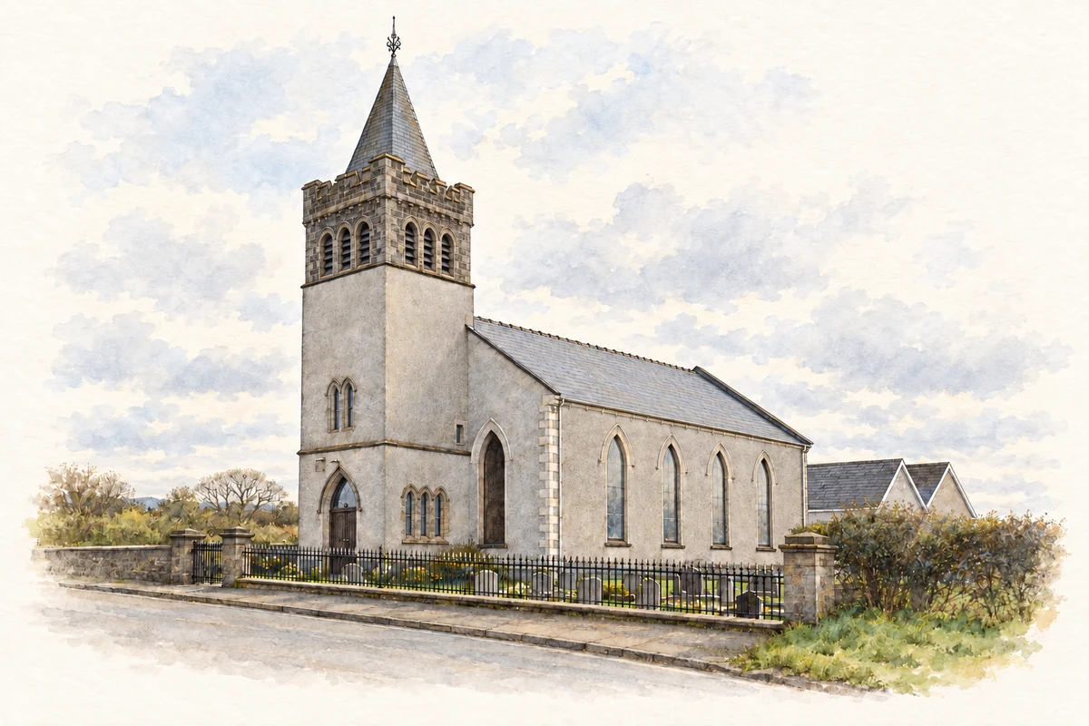
- Ballyrashane Presbyterian Church illustration: based on a Ballyrashane Presbyterian Church by Robert Ashby. AI-assisted watercolour and ink adaptation; cream paper margins added, incidental clutter omitted and fine details simplified. Licence: CC BY-SA 2.0.

Name record retrieved 2026-10-25 · Source record modified 2009-01-27. How this page was prepared.