These Irish name elements are associated with this record in the Logainm glossary.
An element’s translation is a clue, rather than a complete explanation of the name. Its form and meaning depend on local history and the full Irish name.
Recorded forms
An Bóthar Buí· Irish · main form · validated name
Innfield· English · main form
Enfield· English · main form · local name
Place & story
The coach road and the canal
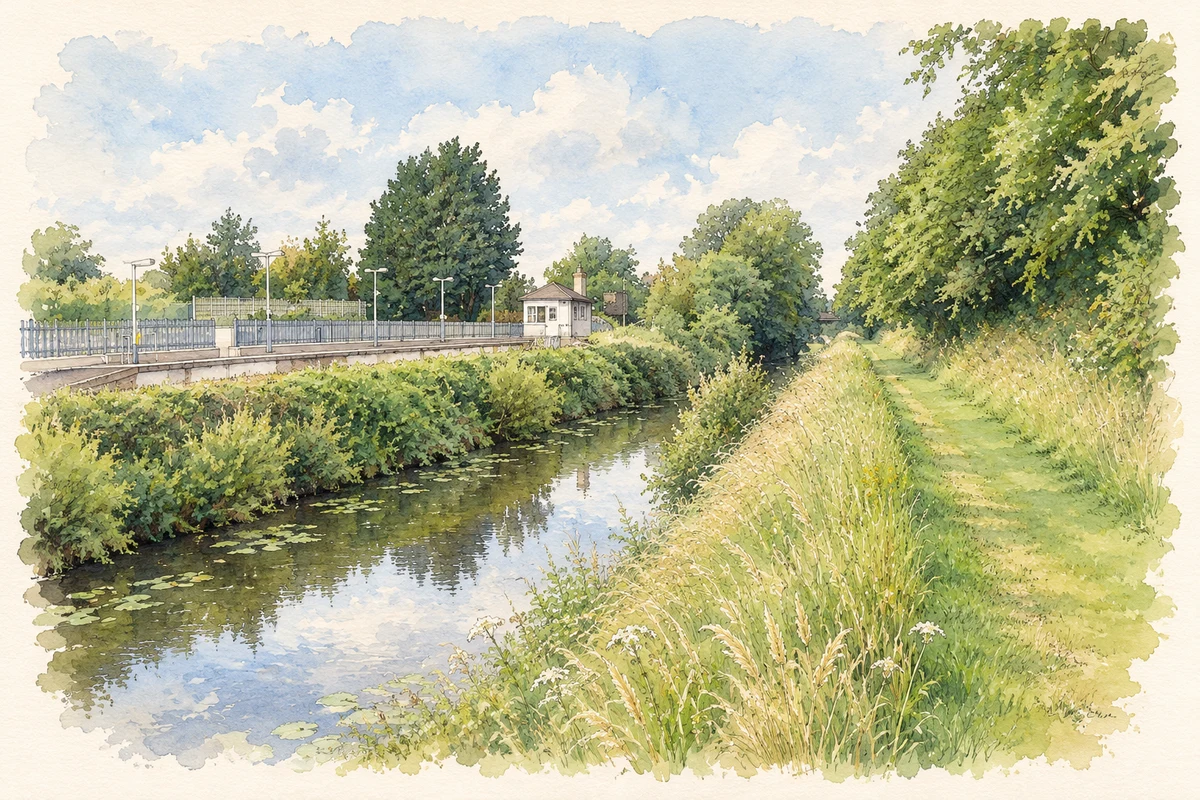
Lewis’s 1837 account describes about fifty houses beside the mail road to Kinnegad, with the Royal Canal passing close by. The canal belonged to the route constructed between Dublin and the Shannon from 1790 to 1817. The county’s industrial survey identifies widened docking places near Enfield, one apparently serving quarry activity. Transport infrastructure brought the settlement into a larger system for moving passengers and materials.[2][3]
A goods shed for the Midland line
The station complex served the Midland Great Western Railway’s Dublin–Galway route. Its red-brick goods shed, built around 1850, retains a slate roof and some cast-iron diamond-paned windows. Such structures accommodated the handling of freight alongside passenger travel. The contrasting materials and practical openings preserve the station’s industrial character.[4]
Water for locomotives
The nearby water tower carried a cast-iron tank above a brick and limestone base. Carved stone arches and contrasting rock-faced quoins gave an essential railway service building a carefully finished appearance. NIAH dates it to around 1850. It survives as part of the infrastructure needed to keep trains moving.[5]
People & connections
The stationmaster’s home
The stationmaster’s house, built around 1890, placed a railway household within the complex. Its L-shaped plan, projecting bay, carved timber bargeboards and roof cresting distinguish it from the utilitarian goods buildings. The home records the resident staff who managed the station’s day-to-day operation and formed part of the town’s railway community.[6]
Both counts use the 2016 settlement boundary, allowing like-for-like comparison. CSO supplies the 2022 count on this older boundary for comparison only. The official 2022 Built Up Area has different boundaries.
View population figures
Enfield — Census 2016 settlement footprint — census population
These are the historical areas published in the 2006 census report. Boundaries may differ between censuses and from modern settlements. Legal towns, environs and suburbs are shown separately; none has been combined into a modern settlement total.
View population figures
Enfield, Meath — Census town, CSO 2006 report — census population
These are the historical areas published in the 1996 census report. Boundaries may differ between censuses and from modern settlements. Legal towns, environs and suburbs are shown separately; none has been combined into a modern settlement total.
View population figures
Enfield, Meath — Census town, CSO 1996 report — census population
Figures cover the historical town area printed in the 1986 report. Boundaries may have changed between censuses. Legal town, environs and suburb totals remain separate and differ from modern settlement boundaries.
View population figures
Enfield, Meath — Census town, CSO 1986 report — census population
These figures use different area definitions. Read the boundary note before comparing them.
Enfield, Meath
Published census settlement populations
3,239people · 2016
Settlement boundaries changed during this period. Differences may reflect boundary changes as well as population change. Where a 2011 legal-town-and-environs count is shown, it has not been recalculated onto the 2016 settlement boundary.
Royal Canal beside Enfield station, County Meath illustration: based on a Royal Canal at Enfield Station, Co. Meath by JP. AI-assisted watercolour and ink adaptation; cream paper margins added, incidental clutter omitted and fine details simplified. Licence: CC BY-SA 2.0.
 placenames