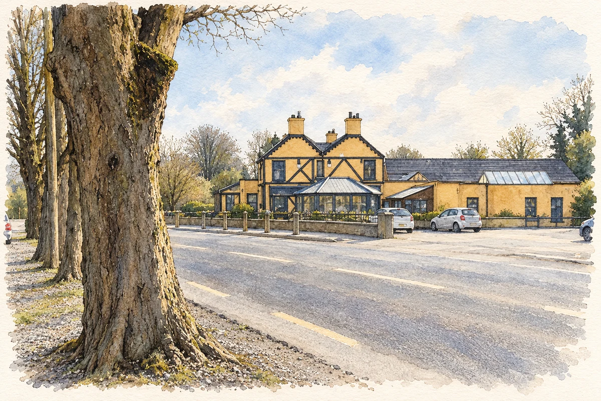
Brittas in south County Dublin developed along routes through the hills, with ponds serving Saggart’s paper mills and a stop on the Blessington tramway.
Illustration, village roadside, Brittas, in 2007
⊕Recorded locationBrittas53.23859° N · 6.45598° WInteractive map supplied by OpenStreetMap.
A reliable full-name meaning has not been established here. The recorded Irish and English forms are given without an unsupported translation.
Recorded forms
An Briotás· Irish · main form · validated name
Brittas· English · main form
Place & story
Finding an easier road through the hills
South Dublin Libraries’ All Roads Lead to Tallaght describes successive routes from Tallaght towards Brittas. The older road climbed by Mount Seskin, putting coach horses to a steep ascent. An early-nineteenth-century alternative passed through the Slade of Saggart and crossed the Camac on Downshire Bridge. Taylor’s 1816 map labelled it a new road avoiding the hill. The surviving bridge belongs to that attempt to improve the journey’s gradient.[2]
Water stored for paper-making
Brittas Ponds were developed to provide a reserve of water for Swiftbrook paper mills at Saggart. The community history records John McDonnell’s purchase of forty-seven acres here in 1847, followed by the formation of embankments faced with granite from Ballyknockan. Sluices controlled the release of water towards the mill. The ponds are therefore part of an industrial water-management landscape extending beyond Brittas itself, rather than simply natural lakes beside the village.[3]
The tram stop outside the inn
A historic photograph reproduced by Brittas Community Association shows the Dublin and Blessington Steam Tramway in front of Dillon’s pub, the former Brittas Inn, with the Blessington-bound stop opposite. The tramway opened in 1888 and connected with city trams at Terenure. Its last services ran on 31 December 1932. For Brittas, the line brought a direct role in a transport corridor linking suburban Dublin with Blessington and the upland countryside.[3]
Both counts use the 2016 settlement boundary, allowing like-for-like comparison. CSO supplies the 2022 count on this older boundary for comparison only. The official 2022 Built Up Area has different boundaries.
View population figures
Brittas — Census 2016 settlement footprint — census population
Brittas, South Dublin — Census town, CSO 2006 report
2002–2006: census town
154people · 2006
These are the historical areas published in the 2006 census report. Boundaries may differ between censuses and from modern settlements. Legal towns, environs and suburbs are shown separately; none has been combined into a modern settlement total.
View population figures
Brittas, South Dublin — Census town, CSO 2006 report — census population
Brittas, South Dublin — Census town, CSO 1996 report
1991–1996: census town
187people · 1996
These are the historical areas published in the 1996 census report. Boundaries may differ between censuses and from modern settlements. Legal towns, environs and suburbs are shown separately; none has been combined into a modern settlement total.
View population figures
Brittas, South Dublin — Census town, CSO 1996 report — census population
Figures cover the historical town area printed in the 1986 report. Boundaries may have changed between censuses. Legal town, environs and suburb totals remain separate and differ from modern settlement boundaries.
View population figures
Brittas, Dublin — Census town, CSO 1986 report — census population
These figures use different area definitions. Read the boundary note before comparing them.
Brittas, South Dublin
Published census settlement populations
179people · 2016
Settlement boundaries changed during this period. Differences may reflect boundary changes as well as population change. Where a 2011 legal-town-and-environs count is shown, it has not been recalculated onto the 2016 settlement boundary.
Village roadside, Brittas illustration: based on a Brittas, County Dublin by Sarah777. AI-assisted watercolour and ink adaptation; cream paper margins added, incidental clutter omitted and fine details simplified. Licence: CC BY-SA 2.0.
 placenames