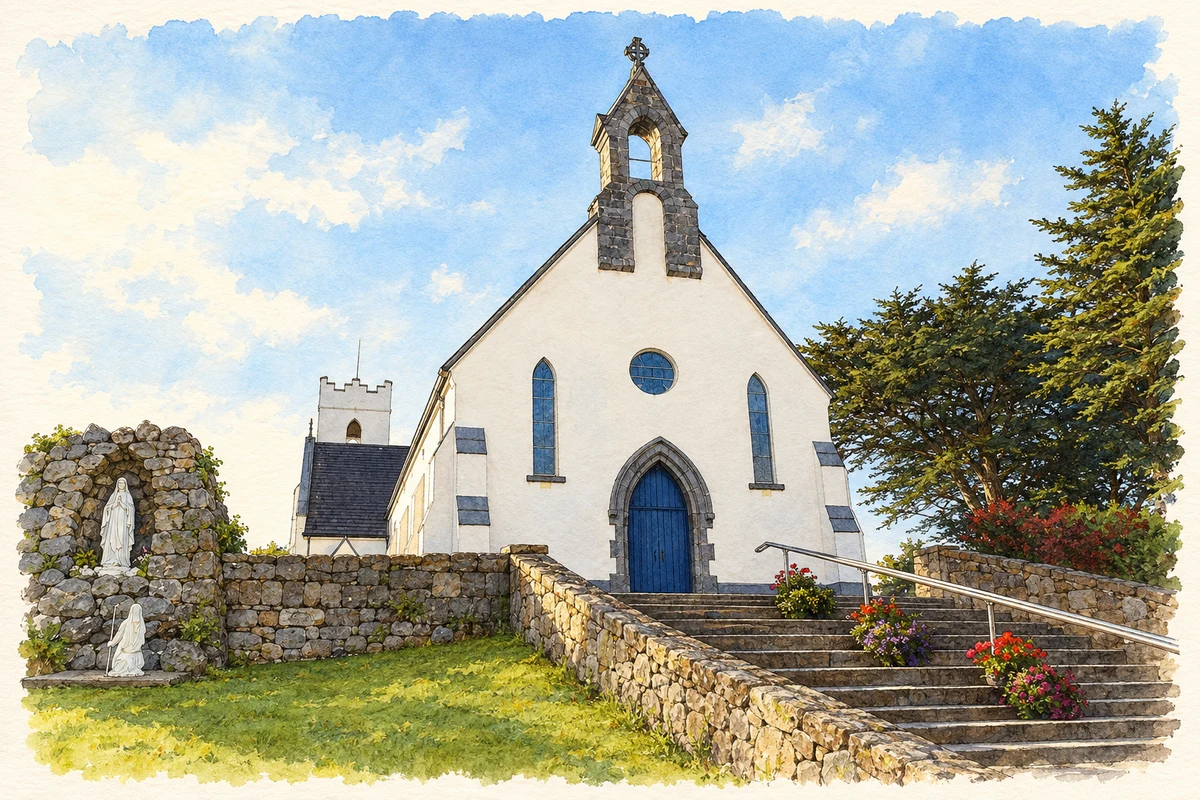
Carrowroe, commonly written Carraroe and known in Irish as An Cheathrú Rua, is a Connemara settlement associated with traditional boats, a distinctive shore and education through Irish.
Illustration, Séipéal Mhic Dara, An Cheathrú Rua
⊕Recorded locationCarrowroe53.26585° N · 9.60299° WInteractive map supplied by OpenStreetMap.
These Irish name elements are associated with this record in the Logainm glossary.
An element’s translation is a clue, rather than a complete explanation of the name. Its form and meaning depend on local history and the full Irish name.
Recorded forms
An Cheathrú Rua· Irish · main form · validated name
Carrowroe· English · main form
Carraroe· English · main form · local name
Place & story
The peninsula and its unusual beach
An Cheathrú Rua occupies a peninsula between Greatman's Bay and Casla Bay. Nearby Trá an Dóilín is often called a coral beach, but Galway's heritage office explains that its distinctive gravel comes from coralline algae known as maerl. The name therefore describes its appearance rather than a tropical coral reef. National Parks and Wildlife Service surveys record extensive maerl communities in the surrounding bay system, including Greatman's Bay. The shore's unusual material connects the familiar beach with marine habitats extending well beyond the water's edge.[2][3]
Boats and the continuity of coastal skills
Galway's heritage account identifies Carraroe as an important centre for traditional Galway hookers. Regattas and the Féile an Dóilín festival maintain public interest in these boats, while currach racing also forms part of local maritime life. The named vessels An Mhaighdean Mhara and Mac Duach appear in the account as examples of boats associated with the tradition. Racing gives the craft a modern purpose and a visible place in community gatherings, helping transmit knowledge of sailing and boat handling alongside the older history of coastal transport.[2]
People & connections
Áras Mháirtín Uí Chadhain
The University of Galway's centre at An Cheathrú Rua has provided Irish-language courses since 1977. Named Áras Mháirtín Uí Chadhain in honour of the writer Máirtín Ó Cadhain, it serves students, adults and specialist groups through courses of different lengths and levels. The university describes facilities for language teaching, computing, radio and television work, as well as access programmes. Its presence links the living language of the Gaeltacht with higher education and media skills. The dedication honours Ó Cadhain; it is not a claim that the centre occupies his birthplace.[4]
An Cheathrú Rua — Census 2016 settlement footprint
Population within 2016 settlement boundaries
948people · 2022
Both counts use the 2016 settlement boundary, allowing like-for-like comparison. CSO supplies the 2022 count on this older boundary for comparison only. The official 2022 Built Up Area has different boundaries.
View population figures
An Cheathrú Rua — Census 2016 settlement footprint — census population
An Cheathrú Rua, Galway — Census town, CSO 2006 report
2002–2006: census town
627people · 2006
These are the historical areas published in the 2006 census report. Boundaries may differ between censuses and from modern settlements. Legal towns, environs and suburbs are shown separately; none has been combined into a modern settlement total.
View population figures
An Cheathrú Rua, Galway — Census town, CSO 2006 report — census population
An Cheathrú Rua, Galway — Census town, CSO 1996 report
1991–1996: census town
242people · 1996
These are the historical areas published in the 1996 census report. Boundaries may differ between censuses and from modern settlements. Legal towns, environs and suburbs are shown separately; none has been combined into a modern settlement total.
View population figures
An Cheathrú Rua, Galway — Census town, CSO 1996 report — census population
These figures use different area definitions. Read the boundary note before comparing them.
An Cheathrú Rua, Galway
Published census settlement populations
781people · 2016
Settlement boundaries changed during this period. Differences may reflect boundary changes as well as population change. Where a 2011 legal-town-and-environs count is shown, it has not been recalculated onto the 2016 settlement boundary.
 placenames