 placenames
Kilmacud
Cill Mochuda
Kilmacud’s twentieth-century growth brought a separate parish, a larger church and a sporting community that later documented its first fifty years.
The name
These Irish name elements are associated with this record in the Logainm glossary.
An element’s translation is a clue, rather than a complete explanation of the name. Its form and meaning depend on local history and the full Irish name.
Recorded forms
- Cill Mochuda · Irish · main form · validated name
- Kilmacud · English · main form
Place & story
A church for a growing parish
Kilmacud became a separate Catholic parish in 1964, with Canon Harley as its first parish priest. The existing chapel had become too small for the growing population. The Sisters of Our Lady of Charity donated a site for a replacement, and Archbishop John Charles McQuaid opened Saint Laurence O’Toole’s Church on 14 December 1969. The parish had previously been linked with Mount Merrion from 1948. [2]
Recording fifty years of sport
In February 2013 Kilmacud Crokes launched Peter Sobolewski’s history of the club’s first fifty years at Glenalbyn. The club’s own report records a large attendance and describes the book as the result of years of research. Its scope, 1959 to 2009, brought the club’s early development and the contributions of its members into a substantial local record. [3]
Geographic information
Sources & further reading
- Logainm.ie — Kilmacud. Place names and geographic record, licensed under CC BY 4.0.
- History, Saint Laurence O’Toole parish, Kilmacud · Saint Laurence O’Toole parish
- A history of Kilmacud Crokes Published, 20 February 2013 · Kilmacud Crokes
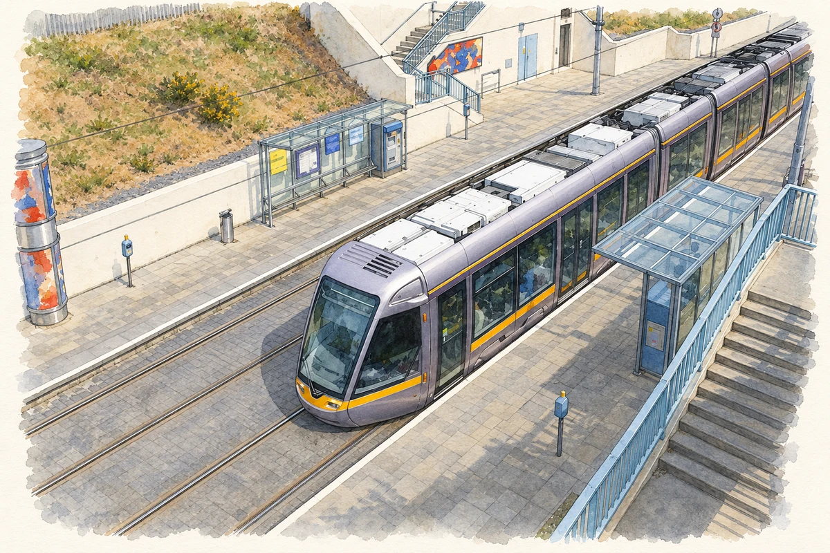
- Kilmacud Luas stop in 2007 — reconstruction from a dated photograph illustration: based on a Kilmacud Luas stop by Sarah777. AI-assisted watercolour and ink adaptation; cream paper margins added, incidental clutter omitted and fine details simplified. Licence: CC BY-SA 2.0.
Name record retrieved 2026-10-25 · Source record modified 2021-02-17. How this page was prepared.