 placenames
Killevy
Cill Shléibhe
Killevy’s old churches preserve the history of a women’s religious community and traditions associated with Saint Moninna.
The name
These Irish name elements are associated with this record in the Logainm glossary.
An element’s translation is a clue, rather than a complete explanation of the name. Its form and meaning depend on local history and the full Irish name.
Recorded forms
- Cill Shléibhe · Irish · main form · validated name
- Killevy · English · main form
Place & story
The women’s monastery
Newry and Mourne Museum’s account places the foundation associated with Saint Moninna, also called Darerca, in the late fifth or early sixth century. It later became an Augustinian convent. In 1542 the last abbess, Alicia Negan McDonnechy O’Hanlon, surrendered the monastery, and its property passed to Sir Marmaduke Whitechurch. [2]
Two churches
The surviving buildings belong to different phases. The museum dates the older western church broadly to the tenth–twelfth centuries and identifies its substantial lintelled doorway as a defining feature. The eastern church is probably fifteenth-century; carved human heads survive at the ends of its east-window arch. Later masonry joins the two churches. [2]
The pilgrimage remembered in song
The Archdiocese of Armagh’s heritage resource describes Amhran na Craoibhe, performed by parish native Tomaí Ó Conghaile, as recalling pilgrimage to Saint Moninna’s well on her pattern day. Its account describes pilgrims carrying shells on long sticks and tying shells and ribbons to the tree beside the well. This is an attested devotional tradition remembered in song. [3]
Geographic information
Sources & further reading
- Logainm.ie — Killevy. Place names and geographic record, licensed under CC BY 4.0.
- History of Killeavy Churches,19October2020 · Ken Abraham; Newry and Mourne Museum
- Diocesan Heritage Resource:Killeavy Old Churches and Saint Moninna’s Well · Archdiocese of Armagh,Pastoral Resources
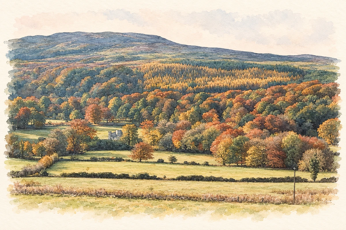
- Killevy Castle estate beneath Slieve Gullion, 1992 reconstruction illustration: based on a View of Killevy Castle and Slieve Gullion by Andy Stott. AI-assisted watercolour and ink adaptation; cream paper margins added, incidental clutter omitted and fine details simplified. Licence: CC BY-SA 2.0.
Name record retrieved 2026-10-25 · Source record modified 2021-12-20. How this page was prepared.