 placenames
Cloghan
An Clochán
Cloghan’s bridge and former school preserve different parts of Glenfin’s history, while the heritage centre commemorates a locally born leader of the Home Rule movement.
The name
These Irish name elements are associated with this record in the Logainm glossary.
An element’s translation is a clue, rather than a complete explanation of the name. Its form and meaning depend on local history and the full Irish name.
Recorded forms
- An Clochán · Irish · main form · validated name
- Cloghan · English · main form
Place & story
An eighteenth-century Finn crossing
Cloghan Bridge spans the River Finn south of the village beside the Cloghan Lodge estate. The single-arched crossing appears on the Taylor and Skinner road maps of 1777–1783. Its stone piers stand directly on bedrock, and the road rises towards the centre of the arch. The bridge records the development of routes through the wooded Finn Valley, with later parapet repairs preserving a structure whose main form remains recognisably eighteenth-century. [2]
Brockagh National School finds a new use
The Isaac Butt Heritage Centre occupies Brockagh National School, built in 1921. The date and school name remain carved on its front. Its T-shaped plan and projecting entrance section belong to a standard rural school design, while sash windows and internal timber finishes preserve much of its early character. After a period of residential use, the building was adapted as a heritage centre with a rear extension around 2004. [3]
Isaac Butt’s birthplace and commemoration
Isaac Butt was born at the former Church of Ireland rectory near Cloghan in 1813. A barrister and parliamentarian, he became a founder of the Home Rule movement. The heritage centre commemorates this local beginning, while his burial place is in Stranorlar. Its school building is a later structure dedicated to interpreting his life, rather than his birthplace. That distinction keeps the village's modern act of remembrance separate from the surviving sites associated with Butt himself. [3]
Geographic information
- Place type
- Population centre
- County
- Donegal
- Barony
- Raphoe South
- Civil parish
- Kilteevoge
- Coordinates
- 54.83873, -7.93774 (approximate)
- Logainm ID
- 1165780 ↗
Sources & further reading
- Logainm.ie — Cloghan. Place names and geographic record, licensed under CC BY 4.0.
- Cloghan Bridge, registration 40906805 · National Inventory of Architectural Heritage
- Isaac Butt Heritage Centre, registration 40906812 · National Inventory of Architectural Heritage
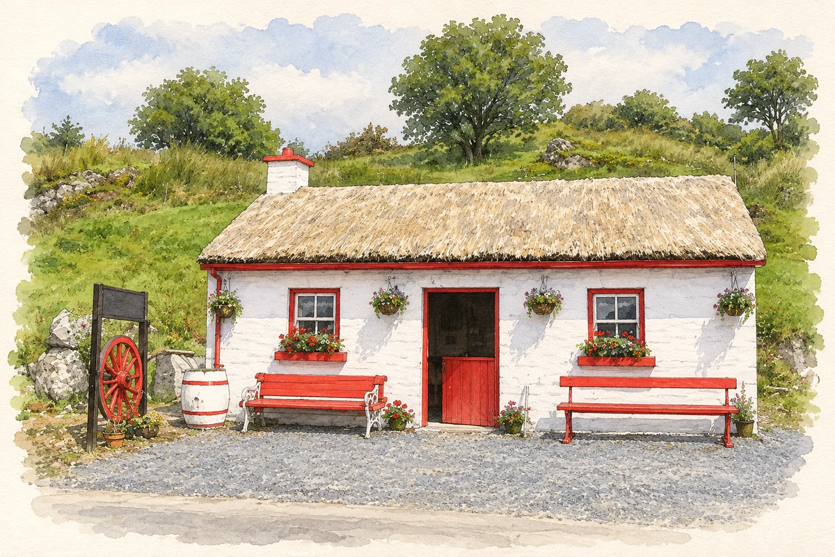
- Biddy and Joe's Cottage, near Cloghan, County Donegal illustration: based on a Biddy and Joe's Cottage, Cloghan, Co. Donegal by Kenneth Allen. AI-assisted watercolour and ink adaptation; cream paper margins added, incidental clutter omitted and fine details simplified. Licence: CC BY-SA 2.0.
Name record retrieved 2026-10-25 · Source record modified 2021-09-29. How this page was prepared.