Cratloe’s wooded hills overlook the Shannon, while local history preserves both a substantial early Catholic church and older stories about timber carried away to a distant royal stronghold.
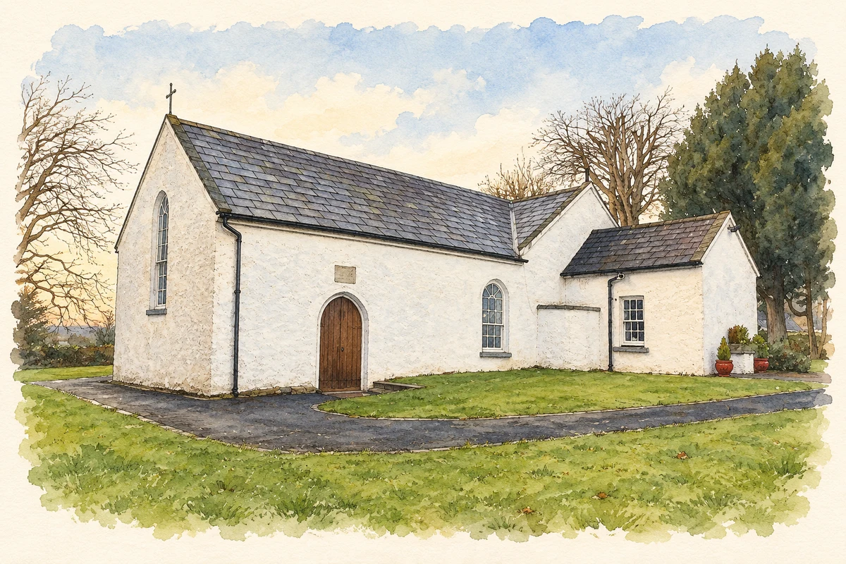
Illustration, Saint John's Church, Cratloe
⊕Recorded locationCratloe52.70068° N · 8.76407° WInteractive map supplied by OpenStreetMap.
A reliable full-name meaning has not been established here. The recorded Irish and English forms are given without an unsupported translation.
Recorded forms
An Chreatalach· Irish · main form · validated name
Cratloe· English · main form
Place & story
Folklore & tradition
A story about the great oak wood
In his 1893 history of Clare, James Frost repeats an account that raiders from Ulster took oak from Cratloe to roof the royal stronghold at Aileach. He links it with the later destruction of Aileach by Muircheartach O'Brien in 1101, telling how the army carried stones south in emptied provision sacks. The narrative connects two distant landscapes through remembered plunder and revenge. Frost's account is evidence for the story's historical transmission; it should not be treated as modern archaeological proof of where particular roof timbers or reused stones originated.[2]
St John’s and its reused doorway
St John's Catholic church was built in 1791 under parish priest James Ward, with a datestone marking the work. Jeremiah Cronin added the transepts in 1806, changing the form of the earlier nave and chancel. The Limerick diocesan heritage account identifies a medieval doorway reused in one transept, believed to have come from either Craughaun or Kilfintinan church. Its original location remains uncertain. The building therefore brings together several periods: a late eighteenth-century parish church, early nineteenth-century enlargement and a surviving piece of still older ecclesiastical stonework.[3]
The forest above the Shannon
Coillte's Cratloe woodland property extends over more than 700 hectares above the Shannon estuary. Its forest roads provide a network through the hills, with views towards the Galtees, the Ballyhouras and Shannon Airport. This modern managed woodland should not simply be equated with the extent or composition of the ancient oak forest described in historical accounts. Both are part of Cratloe's landscape history, but they represent different periods of land use. The hills and estuary remain the setting that connects the village, its roads and its wooded surroundings.[4]
Both counts use the 2016 settlement boundary, allowing like-for-like comparison. CSO supplies the 2022 count on this older boundary for comparison only. The official 2022 Built Up Area has different boundaries.
View population figures
Cratloe — Census 2016 settlement footprint — census population
These are the historical areas published in the 2006 census report. Boundaries may differ between censuses and from modern settlements. Legal towns, environs and suburbs are shown separately; none has been combined into a modern settlement total.
View population figures
Cratloe, Clare — Census town, CSO 2006 report — census population
These are the historical areas published in the 1996 census report. Boundaries may differ between censuses and from modern settlements. Legal towns, environs and suburbs are shown separately; none has been combined into a modern settlement total.
View population figures
Cratloe, Clare — Census town, CSO 1996 report — census population
Figures cover the historical town area printed in the 1986 report. Boundaries may have changed between censuses. Legal town, environs and suburb totals remain separate and differ from modern settlement boundaries.
View population figures
Cratloe, Clare — Census town, CSO 1986 report — census population
These figures use different area definitions. Read the boundary note before comparing them.
Cratloe, Clare
Published census settlement populations
692people · 2016
Settlement boundaries changed during this period. Differences may reflect boundary changes as well as population change. Where a 2011 legal-town-and-environs count is shown, it has not been recalculated onto the 2016 settlement boundary.
 placenames