 placenames
Derrylee
Doire Lí
Nineteenth-century survey records and Methodist historical writing reveal several layers of community life near Annagarriff lake.
The name
These Irish name elements are associated with this record in the Logainm glossary.
An element’s translation is a clue, rather than a complete explanation of the name. Its form and meaning depend on local history and the full Irish name.
Recorded forms
- Doire Lí · Irish · main form · validated name
- Derrylee · English · main form
Place & story
An early meeting house
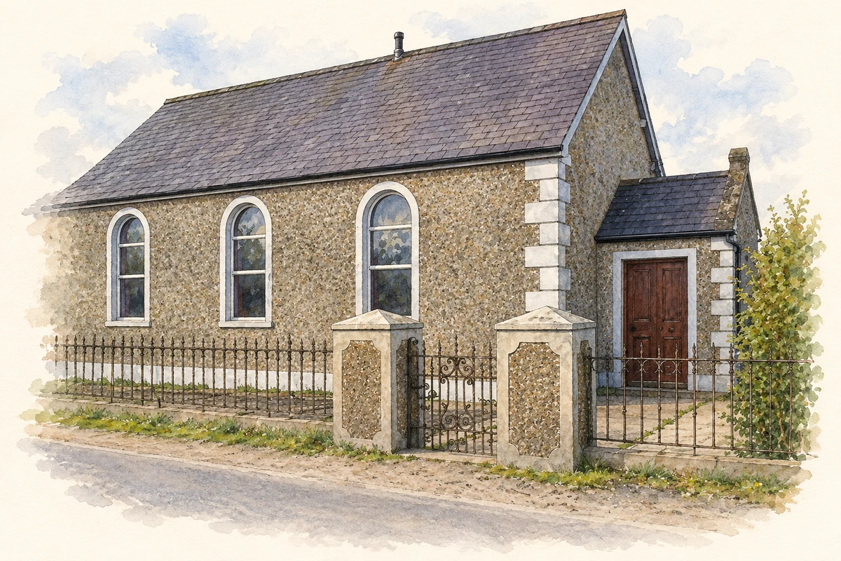
The Ordnance Survey memoir for Tartaraghan describes a Methodist meeting house in Derrylee as a plain rectangular stone building with a slate roof and space for about 150 people. One account says worship had ceased for several years. Another records Colonel Verner repairing an earlier Methodist building and restricting preaching there to Established Church clergy. These observations preserve a complicated history of worship before the later Methodist church was built. [2]
The church of 1860
Writing in the Proceedings of the Wesley Historical Society, James A. Graham linked the local development of Methodism with the revival of 1859 and dated Derrylee church to 1860. He also remembered Johnny Jackson of Derryane, who served as honorary sexton for sixty-seven years. Graham carefully distinguished the Armagh electoral district of Killyman from the nearby Tyrone parish and rectory, a useful caution when locating Derrylee’s religious history. [3]
Schooling and the lake mill
The earlier survey recorded a Derrylee school established in 1812, supported by Colonel Verner and charging pupils a penny each week. Its table counted sixty children, including both Protestants and Catholics. The same memoir places part of Annagarriff lake within Derrylee and records a corn mill belonging to Verner that drew its water supply from the lake. Together, these entries connect education and agricultural processing with the local estate and landscape. [2]
Geographic information
- Place type
- Population centre
- County
- Armagh
- Barony
- Oneilland West
- Civil parish
- Tartaraghan
- Within
- Derrylee
- Coordinates
- 54.48937, -6.61102 (approximate)
- Logainm ID
- 1166024 ↗
Sources & further reading
- Logainm.ie — Derrylee. Place names and geographic record, licensed under CC BY 4.0.
- Parish of Tartaraghan: Ordnance Survey memoir transcription · Ordnance Survey memoirs / Digital Repository of Ireland
- A Wesley Plaque in Ireland: James A. Graham, note1147, Proceedings of the Wesley Historical Society35(5) · James A. Graham / Wesley Historical Society
- Former Derrylee Methodist Church, as photographed in 2008 illustration: based on a Derrylee Methodist Church by P Flannagan. AI-assisted watercolour and ink adaptation; cream paper margins added, incidental clutter omitted and fine details simplified. Licence: CC BY-SA 2.0.
Name record retrieved 2026-10-25 · Source record modified 2021-12-20. How this page was prepared.