 placenames
Flurrybridge
Droichead Gallaigh
Flurrybridge’s records range from Famine relief to a disused post office investigated by a historian and later investment in local workplaces.
The name
These Irish name elements are associated with this record in the Logainm glossary.
An element’s translation is a clue, rather than a complete explanation of the name. Its form and meaning depend on local history and the full Irish name.
Recorded forms
- Droichead Gallaigh · Irish · main form · validated name
- Flurrybridge · English · main form
Place & story
Famine relief
During the Famine, Flurrybridge had a local committee providing food relief. Gerard Mac Atasney's study of County Armagh records a £100 donation from Thomas Fortesque that allowed the committee to continue without imposing a local rate. It distributed 350 rations a day. The account places Flurrybridge within a wider network of voluntary relief operating alongside the changing official arrangements of 1847. [2]
A historian searches for the post office
Desmond Greaves visited Flurrybridge in February 1965 while researching Liam Mellows. His journal records asking local people to identify the former post office, where Mellows had stayed with the McKinlays. He initially photographed the wrong building before receiving further directions. The visit also prompted him to note how changes to the Dublin–Belfast road had altered its crossings of the border and the appearance of the locality. [3]
Community investment in workplaces
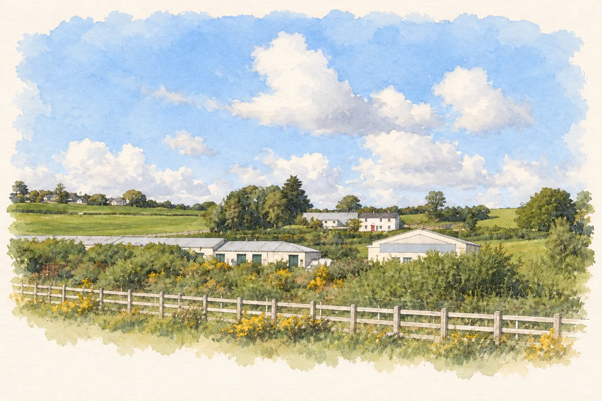
Flurrybridge Enterprise Park became part of a community development initiative in south Armagh. County Armagh Development Trust's Charity Commission entry describes its half-interest in Oriel Developments, which owned 19,600 square feet of light industrial workspace there. The trust presented the project as a way to create employment and sustain the surrounding rural community. This account documents the organisation's stated purpose and investment, rather than a current count of businesses or jobs. [4]
Geographic information
- Place type
- Population centre
- Coordinates
- 54.09989, -6.36415 (approximate)
- Logainm ID
- 1166036 ↗
Sources & further reading
- Logainm.ie — Flurrybridge. Place names and geographic record, licensed under CC BY 4.0.
- Poverty,poorlawandfamineinCountyArmagh1838–52,p185 · Gerard Mac Atasney,University of Liverpool PhD,2003
- DesmondGreavesJournalVol16,28February1965 · C.Desmond Greaves,edited journal archive
- CountyArmaghDevelopmentTrust,charity103813 · Charity Commission for Northern Ireland,organisation’s public-benefit statement
- Flurry Bridge Enterprise Centre, as photographed in 2010 illustration: based on a The Flurry Bridge Enterprise Centre, Jonesborough by Eric Jones. AI-assisted watercolour and ink adaptation; cream paper margins added, incidental clutter omitted and fine details simplified. Licence: CC BY-SA 2.0.
Name record retrieved 2026-10-25 · Source record modified 2025-01-10. How this page was prepared.