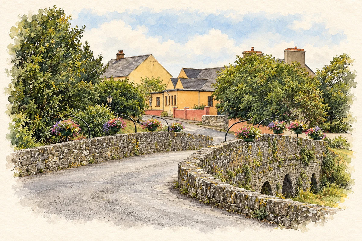
Doonbeg's river crossing brings together a castle ruin, the memory of famine homelessness and the coastal trade recorded in nineteenth-century accounts.
Illustration, Doonbeg Bridge and village
⊕Recorded locationDoonbeg52.73173° N · 9.52393° WInteractive map supplied by OpenStreetMap.
These Irish name elements are associated with this record in the Logainm glossary.
An element’s translation is a clue, rather than a complete explanation of the name. Its form and meaning depend on local history and the full Irish name.
Recorded forms
An Dún Beag· Irish · main form · validated name
Doonbeg· English · main form
Place & story
The castle beside the crossing
Doonbeg Castle once stood much higher than the fragment visible beside the bridge today. When antiquarian T.J.Westropp visited in 1893, he measured a tower approximately 60 feet high,45 feet wide and 33 feet deep. Its gables, battlements and chimneys had already gone, yet seven families were living inside. The number had fallen to two by 1907. Much of the building collapsed in 1939, leaving the north-western corner. Its later use as housing gives this former stronghold a history extending well beyond its military role.[2]
Judy and Margaret O'Donnel under the bridge
The Illustrated London News of 29 December 1849 published an account of two widows and their children sheltering beneath Doonbeg bridge. It named the women as Judy and Margaret O'Donnel. Judy said that her house had been demolished after she gave evidence against a dishonest relieving officer, despite her efforts to pay the rent. The reporter described the families' precarious refuge and their fear of being removed even from there. The bridge thus became the setting for a specific, named account of displacement during the Great Famine.[3]
Stone flags, cloth and the harbour
Samuel Lewis recorded 213 inhabitants in Doonbeg village in 1837. Seaweed was landed at its pier, while locally quarried flagstones were exported to Galway, Limerick and Cork. The harbour offered shelter to small craft but had a rocky entrance. Annual fairs sold livestock as well as locally made flannel and frieze. A flour mill stood near the bridge, and a coastguard station served the village. A manorial court met every six weeks to hear small-debt cases, adding another practical function to the coastal settlement.[4]
Both counts use the 2016 settlement boundary, allowing like-for-like comparison. CSO supplies the 2022 count on this older boundary for comparison only. The official 2022 Built Up Area has different boundaries.
View population figures
Doonbeg — Census 2016 settlement footprint — census population
These are the historical areas published in the 2006 census report. Boundaries may differ between censuses and from modern settlements. Legal towns, environs and suburbs are shown separately; none has been combined into a modern settlement total.
View population figures
Doonbeg, Clare — Census town, CSO 2006 report — census population
These are the historical areas published in the 1996 census report. Boundaries may differ between censuses and from modern settlements. Legal towns, environs and suburbs are shown separately; none has been combined into a modern settlement total.
View population figures
Doonbeg, Clare — Census town, CSO 1996 report — census population
Figures cover the historical town area printed in the 1986 report. Boundaries may have changed between censuses. Legal town, environs and suburb totals remain separate and differ from modern settlement boundaries.
View population figures
Doonbeg, Clare — Census town, CSO 1986 report — census population
These figures use different area definitions. Read the boundary note before comparing them.
Doonbeg, Clare
Published census settlement populations
262people · 2016
Settlement boundaries changed during this period. Differences may reflect boundary changes as well as population change. Where a 2011 legal-town-and-environs count is shown, it has not been recalculated onto the 2016 settlement boundary.
 placenames