These Irish name elements are associated with this record in the Logainm glossary.
An element’s translation is a clue, rather than a complete explanation of the name. Its form and meaning depend on local history and the full Irish name.
Recorded forms
An Gallbhaile· Irish · main form · validated name
Galbally· English · main form
Place & story
The town beneath the Galtees
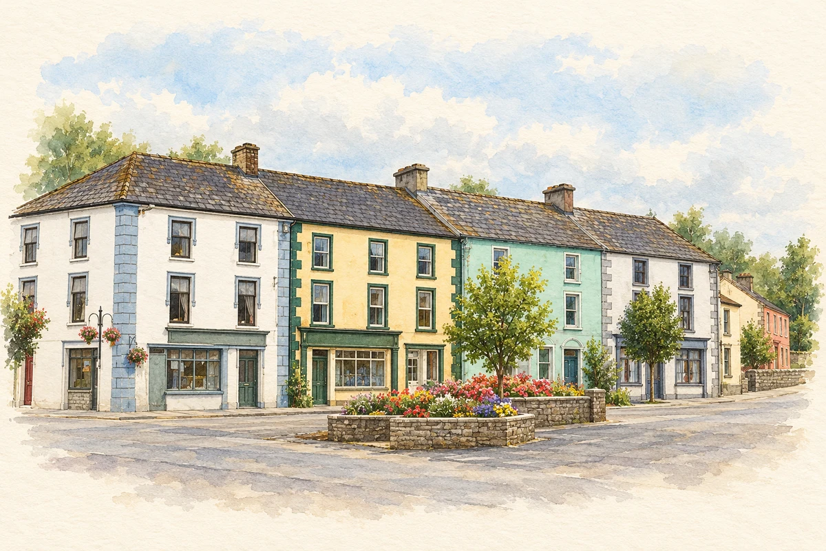
Samuel Lewis recorded 560 people in Galbally town in 1837, distinguishing them from the much larger population of the surrounding parish. Its 110 houses included stone buildings with slate roofs as well as thatched dwellings. Fairs for cattle and pigs took place in May and October, and petty sessions met on alternate Wednesdays. A penny post, police station and dispensary served the locality. Lewis also recorded a Catholic chapel erected in 1834, placing the town’s religious and civic institutions within a growing centre at the foot of the Galtees.[2]
The memorial in the square
A limestone soldier stands above the War of Independence memorial in Galbally’s square. The architectural inventory dates the monument to about 1945 and records plaques in Irish and English. Its dedication names local Volunteers, including Edmond Foley and Patrick Maher, executed at Mountjoy in June 1921, and Michael Scanlan, killed in October 1920. Paid for by public subscription, the monument made the remembrance of individual local men a permanent feature of the village’s principal public space.[3]
People & connections
The Scanlans’ shop and home
The Landscapes of Revolution archaeology project identifies the former Scanlan shop on the south corner of the square as both a business and a family home. Michael Scanlan was killed by Crown Forces in Limerick in October 1920. His brother Jimmy took part in the rescue of Seán Hogan at Knocklong in 1919, while their sister Deborah was active in Cumann na mBan. The family premises suffered repeated raids. Their surviving shopfront connects nationally remembered events with a particular household and workplace in Galbally.[4]
Both counts use the 2016 settlement boundary, allowing like-for-like comparison. CSO supplies the 2022 count on this older boundary for comparison only. The official 2022 Built Up Area has different boundaries.
View population figures
Galbally — Census 2016 settlement footprint — census population
These are the historical areas published in the 2006 census report. Boundaries may differ between censuses and from modern settlements. Legal towns, environs and suburbs are shown separately; none has been combined into a modern settlement total.
View population figures
Galbally, Limerick — Census town, CSO 2006 report — census population
These are the historical areas published in the 1996 census report. Boundaries may differ between censuses and from modern settlements. Legal towns, environs and suburbs are shown separately; none has been combined into a modern settlement total.
View population figures
Galbally, Limerick — Census town, CSO 1996 report — census population
Figures cover the historical town area printed in the 1986 report. Boundaries may have changed between censuses. Legal town, environs and suburb totals remain separate and differ from modern settlement boundaries.
View population figures
Galbally, Limerick — Census town, CSO 1986 report — census population
These figures use different area definitions. Read the boundary note before comparing them.
Galbally, Limerick
Published census settlement populations
251people · 2016
Settlement boundaries changed during this period. Differences may reflect boundary changes as well as population change. Where a 2011 legal-town-and-environs count is shown, it has not been recalculated onto the 2016 settlement boundary.
 placenames