 placenames
Glenasmole
Gleann an Smóil
Castlekelly’s waterworks bridge connects this part of Glenasmole with the valley’s nineteenth-century engineering.
The name
These Irish name elements are associated with this record in the Logainm glossary.
An element’s translation is a clue, rather than a complete explanation of the name. Its form and meaning depend on local history and the full Irish name.
Recorded forms
- Gleann an Smóil · Irish · main form
- Glenasmole · English · main form
Place & story
Castlekelly’s waterworks bridge
The National Inventory records a two-arched bridge over the Dodder in Castlekelly, built about 1885 to designs by engineer Richard Hassard. Its heavy rock-faced masonry accompanies a canalised watercourse and stepped waterfall. The bridge formed part of the Rathmines and Rathgar water supply system. [2]
Two kinds of water
The wider Glenasmole reservoir scheme began in the 1880s to provide drinking water, control floods and maintain supplies to downstream mills. Cleaner water from non-peaty slopes entered the upper reservoir. A separate stone-faced channel carried peaty upland water past it to the lower reservoir, which served the millowners. [3]
Geographic information
- Place type
- Population centre
- County
- Dublin
- Barony
- Uppercross
- Civil parish
- Tallaght
- Within
- Castlekelly
- Coordinates
- 53.23713, -6.36129 (approximate)
- Logainm ID
- 1166179 ↗
Sources & further reading
- Logainm.ie — Glenasmole. Place names and geographic record, licensed under CC BY 4.0.
- Castlekelly bridge — NIAH 11225001 · National Inventory of Architectural Heritage
- Glenasmole — Recreation Sites · Dublin Mountains Partnership
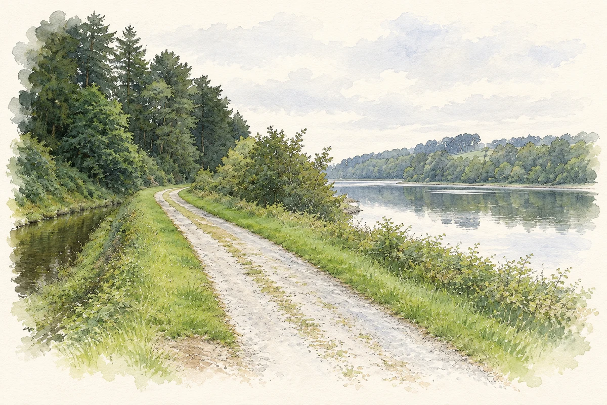
- Upper Bohernabreena Reservoir in Glenasmole, as photographed in 2007 illustration: based on a Upper Bohernabreena Reservoir by JP. AI-assisted watercolour and ink adaptation; cream paper margins added, incidental clutter omitted and fine details simplified. Licence: CC BY-SA 2.0.
Name record retrieved 2026-10-25 · Source record modified 2025-02-13. How this page was prepared.