 placenames
Castle Haven
Gleann Bearcháin
The O’Driscoll stronghold became a Spanish base, while the old church and holy well marked an older centre beside the harbour.
The name
These Irish name elements are associated with this record in the Logainm glossary.
An element’s translation is a clue, rather than a complete explanation of the name. Its form and meaning depend on local history and the full Irish name.
Recorded forms
- Gleann Bearcháin · Irish · main form
- Castle Haven · English · main form
Place & story
The Spanish squadron
In December 1601 Pedro de Zubiaur brought six Spanish supply ships into Castlehaven harbour during the Nine Years War. Donnchadh O’Driscoll and his brothers welcomed the newcomers and made their tower available to them. The harbour became one of the Spanish positions supporting the campaign centred on Kinsale. Historian J. Coombes places this local alliance within the subsequent struggle over the strongholds of west Cork. [2]
The loss of the tower
After the Spanish surrender at Kinsale, the agreement also covered Castlehaven and other Spanish-held forts. The O’Driscolls recovered their tower and resisted a Spanish attempt to retake it. They finally withdrew when Captain Roger Harvie arrived in February 1602. Coombes records that Harvie left his brother Gawen with a hundred soldiers to hold Castlehaven, marking the family’s loss of its harbour stronghold. [2]
The old church and well
Samuel Lewis’s 1837 description locates the remains of the old church of Glanbarrahane near the castle at the harbour mouth. He also records a nearby well dedicated to Saint Barrahane that was still visited in his time. These were distinct from the newer church at Castletownshend. His account preserves the older pairing of castle and church beside the haven after the parish’s principal buildings had shifted elsewhere. [3]
Geographic information
Sources & further reading
- Logainm.ie — Castle Haven. Place names and geographic record, licensed under CC BY 4.0.
- A Castlehaven Episode in the Nine Years War, JCHAS 77 (1972), pp. 40–44 · J. Coombes; Cork Historical and Archaeological Society
- Castlehaven: A Topographical Dictionary of Ireland (1837) · Samuel Lewis
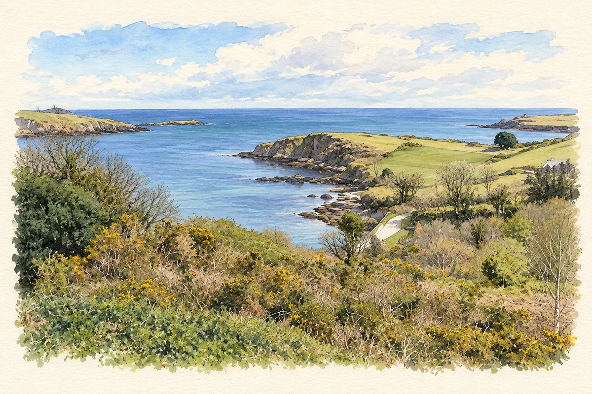
- Castlehaven harbour mouth illustration: based on a A view over Castlehaven by Hywel Williams. AI-assisted watercolour and ink adaptation; cream paper margins added, incidental clutter omitted and fine details simplified. Licence: CC BY-SA 2.0.
Name record retrieved 2026-10-25 · Source record modified 2011-07-01. How this page was prepared.