 placenames
Graigue
An Ghráig
Graigue, also known as Graiguecullen, preserves a history of buildings finding new settings and purposes, from a relocated church to a school converted for swimming.
The name
These Irish name elements are associated with this record in the Logainm glossary.
An element’s translation is a clue, rather than a complete explanation of the name. Its form and meaning depend on local history and the full Irish name.
Recorded forms
- An Ghráig · Irish · main form · validated name
- Graigue · English · main form
- Graiguecullen · English · main form · local name
Place & story
From Saint Anne’s to Saint Clare’s
Saint Clare’s Church began as Saint Anne’s, a Church of Ireland building commissioned by Colonel Bruen on Carlow’s Athy Road in 1852. After it closed, Graigue’s Catholic parish faced overcrowding and poor conditions at Saint Fiacc’s. Parish priest M. H. Bolger knew Henry Bruen of Oak Park; both had served during the First World War. In 1926 the sale of Saint Anne’s to Bolger for a nominal sum was announced, enabling its relocation across the Barrow. [2]
Rebuilding the church in 1928–29
Architectural practice Foley and O’Sullivan oversaw the moving and re-erection of the former Bruen Testimonial Church in 1928–29. Thomas Thompson and Son of Carlow carried out the work. The resulting Saint Clare’s was dedicated by Bishop Cullen on 13 October 1929. Its nineteenth-century origins and twentieth-century assembly belong to different stages of the same building’s history, rather than representing two unrelated churches on the Graiguecullen site. [3]
Separate schools and a new campus
Saint Fiacc’s National School traces its boys’ school to 1825 and its girls’ school to 1875. Boys and girls continued to be taught separately after their older premises were replaced. In 1991 the school moved to a greenfield site on the Killeshin Road, where the community built and funded an adjoining sports hall. Classrooms and learning-support rooms were added in 2008, recording the school’s expansion alongside the surrounding community. [4]
The old school becomes a pool
The former school building near the church acquired a new public role as Graiguecullen Swimming Pool. The school’s own history records its renovation, while Fáilte Ireland describes the converted premises as housing a 25-metre pool, a smaller pool and a viewing area. The reuse kept a former educational building in community service after teaching moved to the Killeshin Road campus. [4] [5]
Geographic information
Sources & further reading
- Logainm.ie — Graigue. Place names and geographic record, licensed under CC BY 4.0.
- History of Saint Clare’s Church · Graiguecullen and Killeshin Parish
- Foley and O’Sullivan: moving and re-erection of Saint Clare’s Church,1928–29 · Irish Architectural Archive / Dictionary of Irish Architects
- General School Details: History of Saint Fiacc’s · Saint Fiacc’s National School
- Graiguecullen Swimming Pool: former National School · Fáilte Ireland
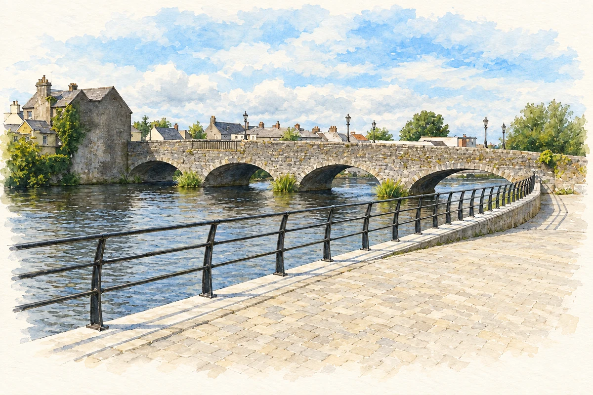
- Graiguecullen Bridge near Graigue, as photographed in 2014 illustration: based on a Graiguecullen Bridge, Carlow by Humphrey Bolton. AI-assisted watercolour and ink adaptation; cream paper margins added, incidental clutter omitted and fine details simplified. Licence: CC BY-SA 2.0.
Name record retrieved 2026-10-25 · Source record modified 2025-01-10. How this page was prepared.