A reliable full-name meaning has not been established here. The recorded Irish and English forms are given without an unsupported translation.
Recorded forms
An Tulachán· Irish · main form · validated name
Tullaghan· English · main form
Place & story
The cross and its recorded relocation
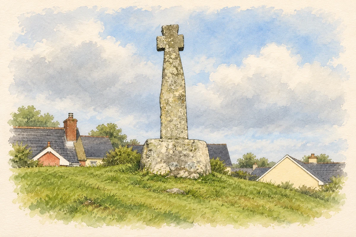
Tullaghan’s tall, undecorated stone cross stands on a sandstone base carrying an inscription recording its erection there in 1778. A 2021 archaeological assessment distinguishes that evidence from local tradition: the cross was said to have been found on the foreshore about 300 metres north. The shaft has slightly expanded arms and leans west. Archaeological testing around it has not recovered related buried features, so its present setting does not establish the location of an earlier monastery.[2]
Tynte Lodge and its folly towers
Tynte Lodge overlooks the Atlantic from grounds containing walled gardens and two castellated folly towers. The National Inventory of Architectural Heritage dates the Georgian house to about 1750 and records bowed outer bays and a curved porch. One folly stands near the cliff edge and has gun loops; the towers provide a decorative military appearance within the estate landscape. Sea-rolled boulders and squared stone occur together in its enclosure walls.[3]
Tullaghan House by the road
Tullaghan House, formerly Fair View, is a separate late-Georgian building in Duncarbry. The architectural inventory dates it to about 1830 and records full-height canted bays, sash windows, a hipped slate roof and an associated stone outbuilding. Its relationship with the village road is unusual: the rear elevation backs directly onto the street, while the house otherwise stands within its own grounds. Round stone gate piers and iron gates mark another part of its setting.[4]
Both counts use the 2016 settlement boundary, allowing like-for-like comparison. CSO supplies the 2022 count on this older boundary for comparison only. The official 2022 Built Up Area has different boundaries.
View population figures
Tullaghan — Census 2016 settlement footprint — census population
These are the historical areas published in the 2006 census report. Boundaries may differ between censuses and from modern settlements. Legal towns, environs and suburbs are shown separately; none has been combined into a modern settlement total.
View population figures
Tullaghan, Leitrim — Census town, CSO 2006 report — census population
These figures use different area definitions. Read the boundary note before comparing them.
Tullaghan, Leitrim
Published census settlement populations
253people · 2016
Settlement boundaries changed during this period. Differences may reflect boundary changes as well as population change. Where a 2011 legal-town-and-environs count is shown, it has not been recalculated onto the 2016 settlement boundary.
 placenames