 placenames
Camus
Camas
The church and former national school preserve community work in stone, while archival notes record the district’s detailed local geography.
The name
A reliable full-name meaning has not been established here. The recorded Irish and English forms are given without an unsupported translation.
Recorded forms
- Camas · Irish · main form · validated name
- Camus · English · main form
Place & story
Building a new church
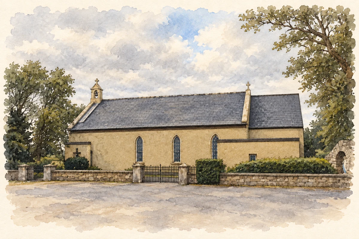
The Church of the Assumption at Camus was dedicated on 15 August 1897, replacing an earlier thatched chapel. The diocesan history records local people carrying out the work with stone and sand from the district. Bishop McCormack dedicated the building, with Fr Mark Conroy preaching in Irish. A substantial reconstruction followed in 1985 under Fr Leon Ó Mórcháin: the sanctuary moved to the south, and the previous sanctuary became a Lady Chapel. O’Riain and Yates were the architects, with Seán Cuddy the builder. [2]
The former national school
The small former national school, recorded by the National Inventory as Tulach na hÉigse, bears a plaque naming Camus National School and the year 1876. It also names the parish priest, P. Quinn. The building has a simple single-storey form, a projecting entrance porch and rendered walls. Despite changes to roofing and windows, the 2008 survey found much of its original shape retained. The inscribed entrance gives a concrete date and a named local participant in nineteenth-century educational provision. [3]
Recording the local landscape
University of Galway holds a set of index cards for Camas Uachtair in the Tim Robinson archive. Its catalogue credits local information to Fr Leo Ó Mórcháin and Pater Flaherty, among other sources. The cards describe hills, lakes, channels, shore features and the chapel, preserving a much finer geography than a village name alone conveys. They also record a local furnace and former ironworking, placing an industrial strand alongside the district’s religious and educational landmarks. [4]
Geographic information
- Place type
- Population centre
- County
- Galway
- Barony
- Moycullen
- Civil parish
- Kilcummin
- Within
- Camus Eighter
- Coordinates
- 53.36406, -9.57840
- Logainm ID
- 1166926 ↗
Sources & further reading
- Logainm.ie — Camus. Place names and geographic record, licensed under CC BY 4.0.
- Séipéal Deastógála, Camus · Dioceses of Clonfert and Galway
- Tulach na hÉigse,30406507 · National Inventory of Architectural Heritage
- Camas Uachtair, P/P120/1/7/6/1 · University of Galway Library Archives
- Séipéal Deastógála, Camus Oughter illustration: based on a County Galway - St Mary's Church - 20180904180620.jpg by Newbert12. AI-assisted watercolour and ink adaptation; cream paper margins added, incidental clutter omitted and fine details simplified. Licence: CC BY-SA 4.0.

Name record retrieved 2026-10-25 · Source record modified 2026-08-24. How this page was prepared.