A reliable full-name meaning has not been established here. The recorded Irish and English forms are given without an unsupported translation.
Recorded forms
Na Boinn· Irish · main form · validated name
Bweeng· English · main form
Place & story
Two ends of a growing settlement
Bweeng developed as a dispersed settlement in the foothills of the Boggeragh Mountains. Cork County Council’s local plan described its northern crossroads on the R619 and a long extension towards the church and post office to the southeast. Its housing figures illustrate a striking period of change: the GeoDirectory count rose from thirty-eight dwellings in 2005 to 175 in 2010. The plan consequently sought better links between the different parts of the village.[2]
A school expanding with the village
Bweeng’s national school began in a two-room building in 1953. A report marking a new classroom and the school’s second Green Flag in October 2012 recorded growth from twenty-one pupils in 2001 to 101 in 2012. By then the premises included four classrooms, a resource room, offices and a multipurpose hall. The enlargement of this local institution gives another measure of the village’s changing population during the early twenty-first century.[3]
The Eamonn Walters Memorial Park
The Eamonn Walters Memorial Park opened on 31 July 1955, with Canon Hayes performing the opening. Kilshannig GAA was an early user; later, soccer, athletics and school activities also made use of the grounds. A 2021 report described additions including a community centre, dressing rooms, courts, a playground and a walkway. Local clubs were then working together on proposals for an all-weather running track and playing surface, continuing the park’s development as a shared village facility.[4]
Both counts use the 2016 settlement boundary, allowing like-for-like comparison. CSO supplies the 2022 count on this older boundary for comparison only. The official 2022 Built Up Area has different boundaries.
View population figures
Bweeng — Census 2016 settlement footprint — census population
These figures use different area definitions. Read the boundary note before comparing them.
Bweeng, Cork
Published census settlement populations
524people · 2016
Settlement boundaries changed during this period. Differences may reflect boundary changes as well as population change. Where a 2011 legal-town-and-environs count is shown, it has not been recalculated onto the 2016 settlement boundary.
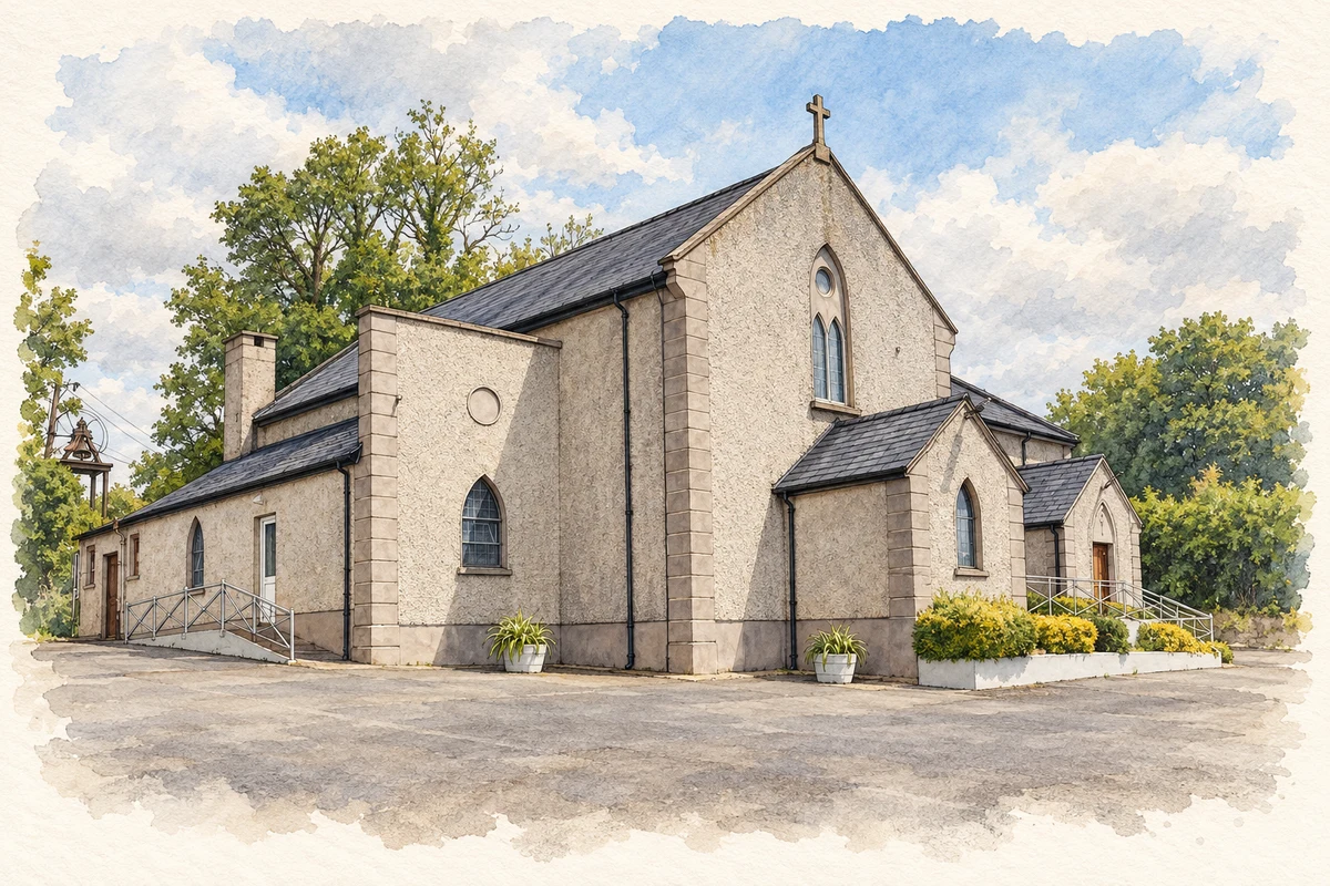
St Columba's Church, Bweeng, County Cork illustration: based on a Saint Columba, Bweeng by Tim Sheerman-Chase. AI-assisted watercolour and ink adaptation; cream paper margins added, incidental clutter omitted and fine details simplified. Licence: CC BY 2.0.
 placenames