 placenames
Ballyculter
Baile Uí Choltair
Ballyculter’s nineteenth-century records reveal a village shaped by parish worship, estate-supported education, charitable housing and a response to the cholera emergency.
The name
These Irish name elements are associated with this record in the Logainm glossary.
An element’s translation is a clue, rather than a complete explanation of the name. Its form and meaning depend on local history and the full Irish name.
Recorded forms
- Baile Uí Choltair · Irish · main form · validated name
- Ballyculter · English · main form
Place & story
An eighteenth-century parish church
Samuel Lewis’s 1837 account dates Ballyculter’s parish church to 1723, with its tower and spire added in 1770. He also records a recent grant of £295 for repairs. These details show a building enlarged and maintained over time. The parish had become a separate rectory in 1834, having previously been attached to the deanery of Down. [2]
Schools and endowed homes
The village schoolhouse described by Lewis included accommodation for both a master and mistress. He dates it to 1824 and records £50 in annual support from Lord Bangor. Nearby, Lady Sophia Ward financed four almshouses in 1832, endowed with £40 a year from the Bangor estate. Education and charitable housing thus formed a substantial part of the village’s nineteenth-century institutions. [2]
Responding to the cholera threat
On 19 October 1832, inhabitants of the Ballyculter district resolved to request a board of health in response to the threat of cholera. The surviving government file records thirteen nominees and a covering letter from two magistrates at Castle Ward. It preserves evidence of local organisation during the epidemic emergency; the request alone does not establish that cholera cases occurred in the village. [3]
Geographic information
- Place type
- Population centre
- County
- Down
- Barony
- Lecale Lower
- Civil parish
- Ballyculter
- Coordinates
- 54.33843, -5.58574 (approximate)
- Logainm ID
- 1167021 ↗
Sources & further reading
- Logainm.ie — Ballyculter. Place names and geographic record, licensed under CC BY 4.0.
- Ballyculter: A Topographical Dictionary of Ireland, 1837 · Samuel Lewis
- CSO/RP/1832/5116: proposed Ballyculter board of health · National Archives of Ireland
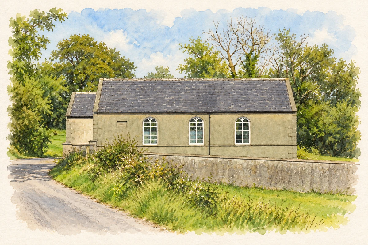
- Cargagh Chapel (St Patrick's), Ballyculter illustration: based on a Cargagh Chapel by Dean Molyneaux. AI-assisted watercolour and ink adaptation; cream paper margins added, incidental clutter omitted and fine details simplified. Licence: CC BY-SA 2.0.
Name record retrieved 2026-10-25 · Source record modified 2019-10-08. How this page was prepared.