A reliable full-name meaning has not been established here. The recorded Irish and English forms are given without an unsupported translation.
Recorded forms
Ceanannas· Irish · main form · validated name
Kells· English · main form
Place & story
Scripture carved in stone
Kells’s high crosses make biblical narratives part of the town’s surviving monastic landscape. The South Cross, associated with Patrick and Columba, includes Adam and Eve, Cain and Abel, Daniel among the lions and David playing a harp. Other scenes belong to the unfinished East Cross. The round tower has five upper windows, an unusual arrangement interpreted by the OPW in relation to the town’s approach roads and gates.[2]
A book used for more than reading
The Book of Kells remained at the monastery throughout the Middle Ages, venerated as a gospel book associated with Colum Cille. Blank pages and spaces were used in the eleventh and twelfth centuries to record property transactions. The ornate manuscript therefore also became a place to preserve the community’s legal memory. Its devotional value and the practical business of monastic landholding met on the same pages.[3]
People & connections
Lambert and Jones move the manuscript
After the warfare of the 1640s, Charles Lambert, governor of Kells and Earl of Cavan, sent the book to Dublin around 1653 for safety. Henry Jones later helped bring it to Trinity College when he became Bishop of Meath in 1661. These named custodians form part of the manuscript’s journey from monastery to university collection. Trinity began displaying it in the Old Library during the nineteenth century.[3]
The later estate town
A different phase survives in Headfort Place, where substantial Georgian houses and public buildings open out from the narrower medieval streets. The Taylor family’s influence on Kells included improvements associated with the Headfort estate and a courthouse designed by Francis Johnston. The council’s conservation account presents this as a deliberately shaped townscape, joining church, civic buildings and residences within a broad public space.[4]
Ceanannas Mór (Kells) — Census 2016 settlement footprint
Population within 2016 settlement boundaries
6,527people · 2022
Both counts use the 2016 settlement boundary, allowing like-for-like comparison. CSO supplies the 2022 count on this older boundary for comparison only. The official 2022 Built Up Area has different boundaries.
View population figures
Ceanannas Mór (Kells) — Census 2016 settlement footprint — census population
These are the historical areas published in the 2006 census report. Boundaries may differ between censuses and from modern settlements. Legal towns, environs and suburbs are shown separately; none has been combined into a modern settlement total.
View population figures
Kells (Ceanannas) Environs, Meath — Town environs only, CSO 2006 report — census population
These are the historical areas published in the 1996 census report. Boundaries may differ between censuses and from modern settlements. Legal towns, environs and suburbs are shown separately; none has been combined into a modern settlement total.
View population figures
Kells (Ceanannas) Environs, Meath — Town environs only, CSO 1996 report — census population
Figures cover the historical town area printed in the 1986 report. Boundaries may have changed between censuses. Legal town, environs and suburb totals remain separate and differ from modern settlement boundaries.
View population figures
Ceannanus Mor, Meath — Legal town, CSO 1986 report — census population
Ceannanus Mor, Meath — Town environs only, CSO 1986 report
1981–1986: town environs only
1,280people · 1986
Figures cover the historical town area printed in the 1986 report. Boundaries may have changed between censuses. Legal town, environs and suburb totals remain separate and differ from modern settlement boundaries.
View population figures
Ceannanus Mor, Meath — Town environs only, CSO 1986 report — census population
These figures use different area definitions. Read the boundary note before comparing them.
Ceanannas Mór (Kells), Meath — 2011 legal town and environs; 2016 census settlement
Published census settlement populations
6,135people · 2016
Settlement boundaries changed during this period. Differences may reflect boundary changes as well as population change. Where a 2011 legal-town-and-environs count is shown, it has not been recalculated onto the 2016 settlement boundary.
View population figures
Ceanannas Mór (Kells), Meath — 2011 legal town and environs; 2016 census settlement — census population
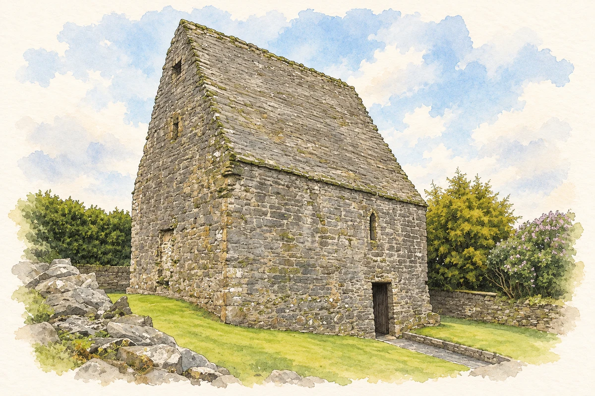
Saint Columb's House, Kells, County Meath illustration: based on a St Columcille s House St Columba s House by Nutzer0916. AI-assisted watercolour and ink adaptation; cream paper margins added, incidental clutter omitted and fine details simplified. Licence: CC BY-SA 4.0.
 placenames