 placenames
Newferry
An Peire Nua
Excavations beside the Bann revealed successive deposits containing prehistoric tools and traces of occupation.
The name
These Irish name elements are associated with this record in the Logainm glossary.
An element’s translation is a clue, rather than a complete explanation of the name. Its form and meaning depend on local history and the full Irish name.
Recorded forms
- An Peire Nua · Irish · main form · non-validated name
- Newferry · English · main form
Place & story
The 1971 investigation
Peter Woodman’s excavation continued work begun in 1970, supported by the Ulster Museum and the Ministry of Finance. Layers of sand, peat and diatomite preserved evidence from different periods. The team also worked with Queen’s University palaeoecologists, who sampled the deposits for pollen analysis. [2]
Tools and disturbed deposits
Finds included stone axes, knives, scrapers and borers. Some layers contained possible structural traces. Woodman also recorded the effects of river erosion: material had washed out of older occupation deposits, while later brick pits cut into the upper sequence. [2]
Geographic information
- Place type
- Population centre
- County
- Antrim
- Barony
- Toome Upper
- Civil parish
- Grange of Ballyscullion
- Within
- Culnafay
- Coordinates
- 54.82223, -6.46125
- Logainm ID
- 118089 ↗
Sources & further reading
- Logainm.ie — Newferry. Place names and geographic record, licensed under CC BY 4.0.
- 1971:045 — Newferry, Antrim · Peter Woodman, Department of Antiquities, Ulster Museum
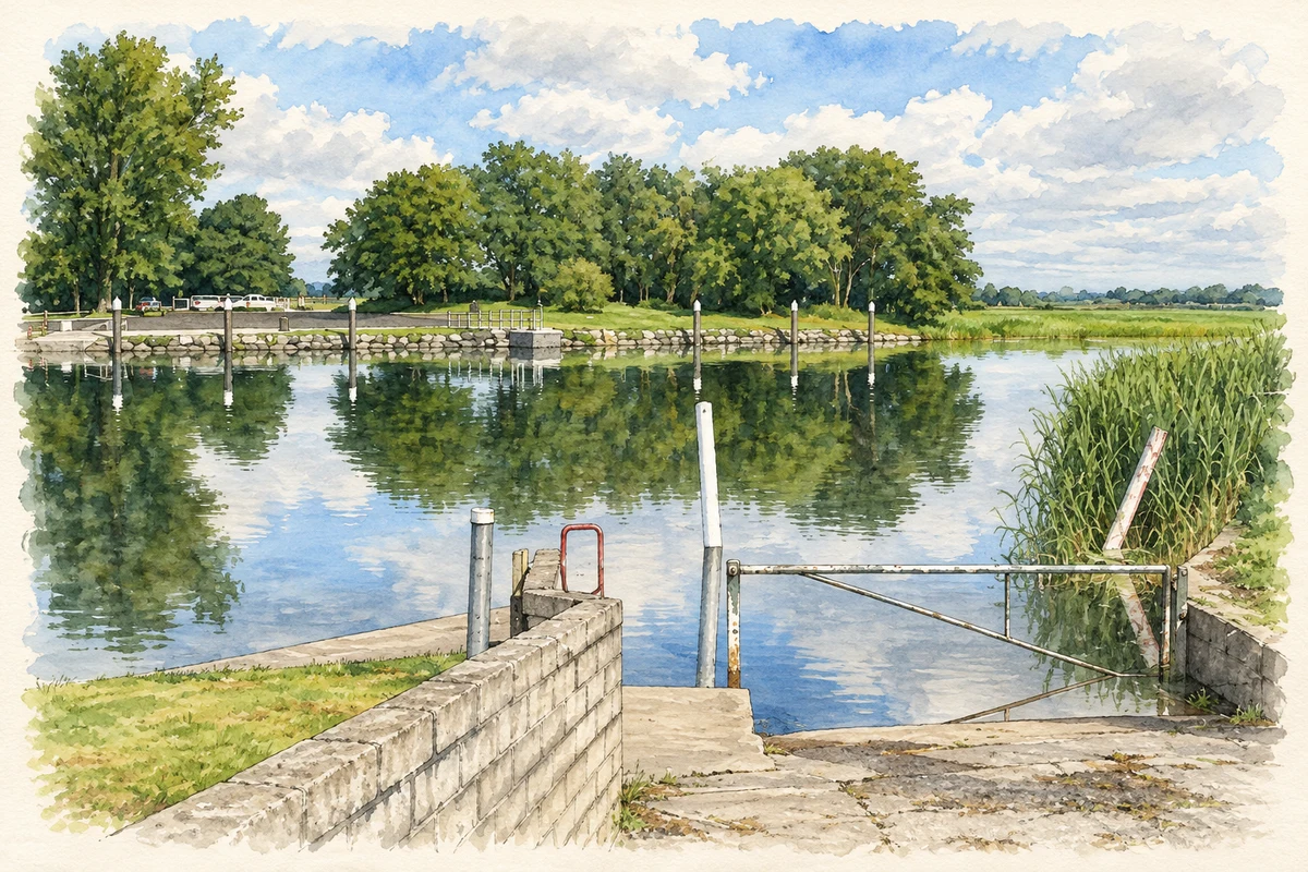
- The River Bann slipway at Newferry, as photographed in July 2007 illustration: based on a Slipway at the Newferry on the Bann by Cormac Duffin. AI-assisted watercolour and ink adaptation; cream paper margins added, incidental clutter omitted and fine details simplified. Licence: CC BY-SA 2.0.
Name record retrieved 2026-10-25 · Source record modified 2026-07-01. How this page was prepared.