 placenames
Arney
An Arna
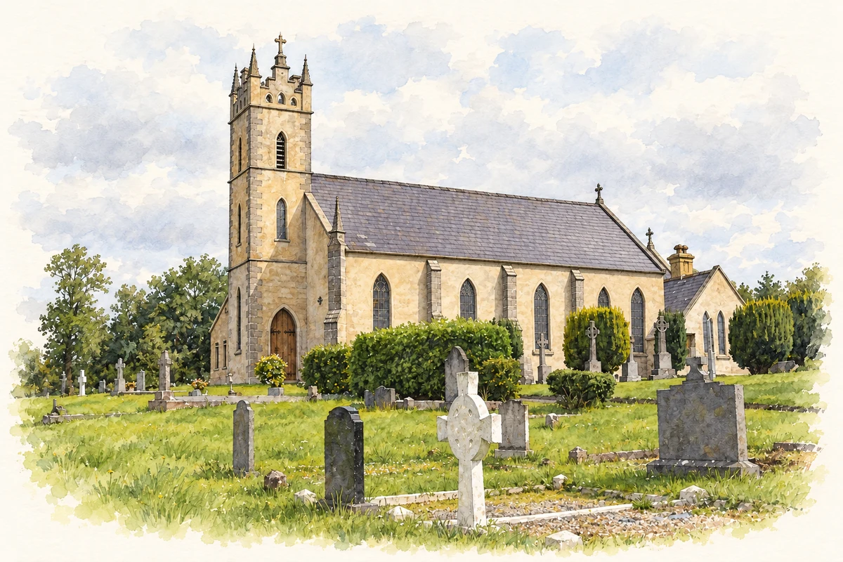
Arney’s history combines a disputed battlefield location, the remains of an old school beside the bridge and a church dedicated in 1868.
The name
A reliable full-name meaning has not been established here. The recorded Irish and English forms are given without an unsupported translation.
Recorded forms
- An Arna · Irish · main form · non-validated name
- Arney · English · main form
Place & story
Looking for the Ford of the Biscuits
The Battle of the Ford of the Biscuits took place on 7 August 1594, but its precise location has been debated. A Queen’s University Belfast archaeological report records a difference between the Sites and Monuments Record, which placed it near Drumane Bridge, and local tradition favouring the bridge at Arney. The community’s Battles, Bricks and Bridges project investigated the question through systematic metal detecting, treating the battlefield’s location as a research problem rather than an established point on the map. [2]
Schoolroom traces beside the bridge
The same project excavated the nineteenth-century schoolhouse southeast of Arney Bridge in spring 2014. Archaeologists uncovered its front and rear walls, a clay floor and a drain behind the building. Fragments of inkwells, writing slates and styli supplied direct evidence of classroom activity. The investigation also examined adjacent ruined cottages. This work brought the settlement’s everyday buildings into view alongside the better-known battle, using objects and surviving structures to recover aspects of village life. [2]
St Mary’s dedication
St Mary’s Church was dedicated on 27 September 1868 by James Donnelly, Bishop of Clogher. His diary, reproduced in the diocese’s account of its 150 th anniversary, records a wet morning but a large attendance. A Passionist preacher, Father Sebastian, spoke inside the church and later from an outdoor platform. The dedication collection came to about £120. The diary supplies a contemporary account of the opening, while the anniversary gathering in September 2018 marked the building’s continuing place in Cleenish parish. [3]
Geographic information
- Place type
- Population centre
- County
- Fermanagh
- Barony
- Clanawley
- Civil parish
- Cleenish and Islands
- Coordinates
- 54.29175, -7.67455
- Logainm ID
- 121002 ↗
Sources & further reading
- Logainm.ie — Arney. Place names and geographic record, licensed under CC BY 4.0.
- Excavations at Arney, Co. Fermanagh, Data Structure Report 103 · Brian Sloan and Dermot Redmond, Centre for Archaeological Fieldwork, Queen’s University Belfast
- People of Cleenish parish celebrate 150 years of St Mary’s, Arney · Joseph McGuinness, Diocese of Clogher, 25 September 2018
- St Mary's Church, Arney, County Fermanagh illustration: based on a Arney RC Church (10 July 2007) by Kenneth Allen. AI-assisted watercolour and ink adaptation; cream paper margins added, incidental clutter omitted and fine details simplified. Licence: CC BY-SA 2.0.
Name record retrieved 2026-10-25 · Source record modified 2026-07-07. How this page was prepared.