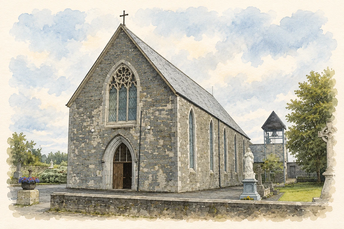
A reliable full-name meaning has not been established here. The recorded Irish and English forms are given without an unsupported translation.
Recorded forms
Pailís Chaonraí· Irish · main form · validated name
Pallaskenry· English · main form
Place & story
The Shannongrove gold collar
The Shannongrove Gorget was found in a bog in the surrounding district sometime before 1783. The Victoria and Albert Museum dates the embossed-gold collar to about 800–700 BC. Its large circular terminals and curved body suggest a ceremonial ornament, although the museum explicitly notes that its exact use is unknown. Holes beneath the terminals may have helped secure it around the wearer. The find offers evidence of elaborate prehistoric metalworking in the lower Shannon region, without identifying a particular owner or proving the circumstances of its deposition.[2]
Dromore’s deliberately medieval appearance
Nearby Dromore Castle was designed in the 1860s by Edward William Godwin, working with Henry Crisp, for the third Earl of Limerick. The Irish Architectural Archive records drawings and related papers for the project. Its great keep, lower ranges and round tower drew on medieval forms, but the building itself was a Victorian country house. An Taisce notes Godwin's study of Irish monuments and the intended echo of the Rock of Cashel. The later loss of its roof should not obscure this nineteenth-century origin.[3][4]
The Salesian foundation
The Salesians' own institutional history dates their Pallaskenry foundation to 1919. A community house developed alongside agricultural and secondary education on the campus. This educational role connected the locality with training for work on farms as well as with general schooling. Later histories sometimes give dates for purchases or particular developments; those need to be distinguished from the congregation's stated foundation year. The surviving institutional record establishes Pallaskenry as an early centre of Salesian activity in Ireland and explains the college's continuing place in local identity.[5]
Both counts use the 2016 settlement boundary, allowing like-for-like comparison. CSO supplies the 2022 count on this older boundary for comparison only. The official 2022 Built Up Area has different boundaries.
View population figures
Pallaskenry — Census 2016 settlement footprint — census population
Pallaskenry, Limerick — Census town, CSO 2006 report
2002–2006: census town
534people · 2006
These are the historical areas published in the 2006 census report. Boundaries may differ between censuses and from modern settlements. Legal towns, environs and suburbs are shown separately; none has been combined into a modern settlement total.
View population figures
Pallaskenry, Limerick — Census town, CSO 2006 report — census population
Pallaskenry, Limerick — Census town, CSO 1996 report
1991–1996: census town
519people · 1996
These are the historical areas published in the 1996 census report. Boundaries may differ between censuses and from modern settlements. Legal towns, environs and suburbs are shown separately; none has been combined into a modern settlement total.
View population figures
Pallaskenry, Limerick — Census town, CSO 1996 report — census population
Pallaskenry, Limerick — Census town, CSO 1986 report
1981–1986: census town
438people · 1986
Figures cover the historical town area printed in the 1986 report. Boundaries may have changed between censuses. Legal town, environs and suburb totals remain separate and differ from modern settlement boundaries.
View population figures
Pallaskenry, Limerick — Census town, CSO 1986 report — census population
These figures use different area definitions. Read the boundary note before comparing them.
Pallaskenry, Limerick
Published census settlement populations
651people · 2016
Settlement boundaries changed during this period. Differences may reflect boundary changes as well as population change. Where a 2011 legal-town-and-environs count is shown, it has not been recalculated onto the 2016 settlement boundary.
 placenames