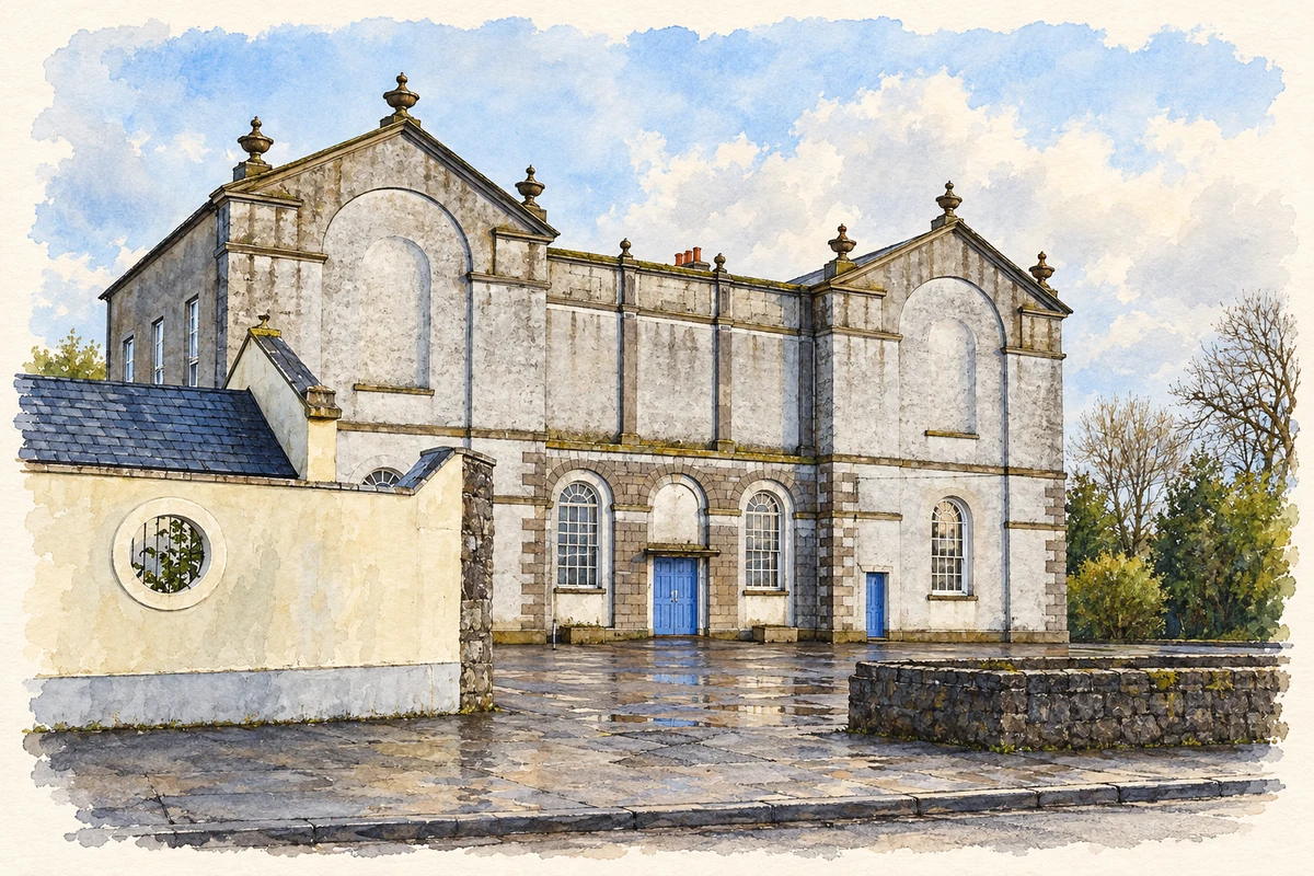
Formerly Philipstown, Daingean preserves evidence of a fortified administrative centre and the later waterway that changed its connections with the wider Midlands.
Illustration, Town Hall, Daingean
⊕Recorded locationDaingean53.29990° N · 7.28899° WInteractive map supplied by OpenStreetMap.
These Irish name elements are associated with this record in the Logainm glossary.
An element’s translation is a clue, rather than a complete explanation of the name. Its form and meaning depend on local history and the full Irish name.
Recorded forms
An Daingean· Irish · main form · validated name
Daingean· English · main form
Place & story
From stronghold to Philipstown
The Offaly Urban Archaeology Survey records an O'Connor Faly stronghold at Daingean before the Tudor plantation. Its earliest cited destruction occurred in 1537. A new government fort followed in 1546, and the settlement was renamed Philipstown in 1556 in honour of Philip II of Spain, husband of Mary I. A market grant and incorporation charter followed in the 1560s. These changes placed the town within the administrative and military structure of the plantation. The survey cautions that the earlier stronghold's construction date and form are unknown; the name alone cannot supply a reconstruction.[2]
People & connections
Arthur Richards Neville’s estate survey
In 1786 surveyor Arthur Richards Neville mapped the Molesworth estate at Philipstown. The large sheet records almost three thousand acres and around 130 holdings, preserving details of the town and surrounding landscape before the Grand Canal arrived. Neville later became Dublin City Surveyor. Donated to Offaly Archives in 2022, the map was conserved with Heritage Council support and presented in an Offaly History study. It offers a different kind of local record from narrative histories: buildings, boundaries and named holdings can be examined together within the estate that organised much of the town's land.[3]
A quay, a bridge and a store
The Grand Canal reached Daingean in the late 1790s. Its stone quay runs beneath Molesworth Bridge, beside the canal store, forming a surviving group of structures associated with inland navigation. The National Inventory of Architectural Heritage dates the quay to about 1800. These were working facilities for transferring and storing goods, not simply ornamental additions to the town. Their relationship remains legible along the water's edge. The canal connected a settlement already shaped by military and administrative functions with a new transport system crossing the Midlands.[4]
Both counts use the 2016 settlement boundary, allowing like-for-like comparison. CSO supplies the 2022 count on this older boundary for comparison only. The official 2022 Built Up Area has different boundaries.
View population figures
Daingean — Census 2016 settlement footprint — census population
These are the historical areas published in the 2006 census report. Boundaries may differ between censuses and from modern settlements. Legal towns, environs and suburbs are shown separately; none has been combined into a modern settlement total.
View population figures
Daingean, Offaly — Census town, CSO 2006 report — census population
These are the historical areas published in the 1996 census report. Boundaries may differ between censuses and from modern settlements. Legal towns, environs and suburbs are shown separately; none has been combined into a modern settlement total.
View population figures
Daingean, Offaly — Census town, CSO 1996 report — census population
Figures cover the historical town area printed in the 1986 report. Boundaries may have changed between censuses. Legal town, environs and suburb totals remain separate and differ from modern settlement boundaries.
View population figures
Daingean, Offaly — Census town, CSO 1986 report — census population
These figures use different area definitions. Read the boundary note before comparing them.
Daingean, Offaly
Published census settlement populations
1,077people · 2016
Settlement boundaries changed during this period. Differences may reflect boundary changes as well as population change. Where a 2011 legal-town-and-environs count is shown, it has not been recalculated onto the 2016 settlement boundary.
 placenames