 placenames
Blue Ball
An Phailís
The crossroads settlement at Pallas preserves a medical officer’s house and appears in a traveller’s tense account of the War of Independence.
The name
A reliable full-name meaning has not been established here. The recorded Irish and English forms are given without an unsupported translation.
Recorded forms
- An Phailís · Irish · main form · validated name
- Blue Ball · English · main form
- Blueball · English · main form · local name
Place & story
Killoughy Dispensary
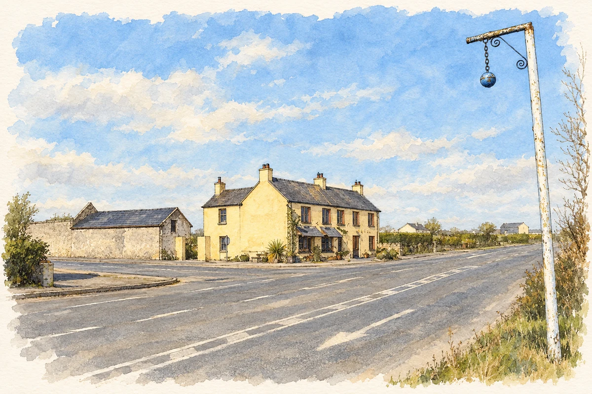
The former medical officer’s house at Blue Ball was built around 1910, with a dispensary behind it. Its gabled frontage combines pale rendered walls with red-brick bands, window heads and a pointed entrance. The National Inventory of Architectural Heritage records its later use as a house, while recognising the social importance of the medical service once provided here. The adjoining outbuilding, railings and gates help preserve the character of the original complex. [2]
Wilfrid Ewart at the crossroads
On his walk from Birr to Tullamore on 1 May 1921, the English writer Wilfrid Ewart stopped at a crossroads public house identified by historian Michael Byrne as Blue Ball. Ewart described suspicious youths outside the inn and an increasingly anxious journey onwards. A short distance beyond the crossroads, armed men stopped him, searched his belongings and questioned him. His published account gives a visitor’s perspective on the suspicion of strangers during the War of Independence. [3]
Saint Evehy’s at nearby Black Lion
At Black Lion, near Blue Ball, the former Church of Ireland church of Saint Evehy dates from 1818. Its tower has pinnacles and a short curved limestone spire, while the nave retains pointed windows with diamond-shaped panes. The church stands within a graveyard and is recorded by the National Inventory of Architectural Heritage as converted to domestic use. Its surviving exterior remains a distinctive reminder of the Church of Ireland community in the surrounding Killoughy district. [4]
Geographic information
Sources & further reading
- Logainm.ie — Blue Ball. Place names and geographic record, licensed under CC BY 4.0.
- Killoughy Dispensary, Pallas, Blue Ball, Offaly, register 14924001 · National Inventory of Architectural Heritage
- An Englishman’s walk through Birr, Kilcormac and Tullamore in mid-1921 · Michael Byrne, Offaly History, 12 July 2021
- Saint Evehy’s Church (Killoughy), Mountpleasant, Black Lion, Offaly, register 14924002 · National Inventory of Architectural Heritage
- The blue ball and village pub, Blue Ball, County Offaly illustration: based on a Blue Ball, County Offaly by Sarah777. AI-assisted watercolour and ink adaptation; cream paper margins added, incidental clutter omitted and fine details simplified. Licence: CC BY-SA 2.0.
Name record retrieved 2026-10-25 · Source record modified 2025-01-10. How this page was prepared.