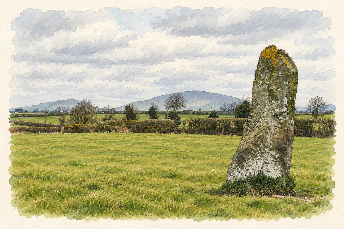
Knockbridge’s surroundings bring together a monumental standing stone, the home of a poet’s sister and a church shaped by successive generations of craftsmen.
Illustration, Clochafarmore standing stone, near Knockbridge
⊕Recorded locationKnockbridge53.97113° N · 6.48849° WInteractive map supplied by OpenStreetMap.
These Irish name elements are associated with this record in the Logainm glossary.
An element’s translation is a clue, rather than a complete explanation of the name. Its form and meaning depend on local history and the full Irish name.
Recorded forms
Droichead an Chnoic· Irish · main form · validated name
Knockbridge· English · main form
Place & story
Folklore & tradition
The hero who would not fall
Clochafarmore, east of Knockbridge, is a standing stone more than three metres high. Louth's tourism account records its traditional association with Cúchulainn's death: mortally wounded, the hero ties himself upright to the stone so that he can continue facing his enemies. The physical monument and the story belong to different kinds of evidence. The stone is an archaeological feature; the identification with the hero is a tradition attached to it. Their association gives a particular field near Knockbridge a place in the remembered landscape of the Ulster legends.[2]
People & connections
Agnes Burns at Stephenstown
Agnes Burns, the eldest sister of the Scottish poet Robert Burns, lived with her husband William Galt at a cottage beside Stephenstown Pond. A County Louth Archaeological and Historical Society outing account describes Galt's work creating the pond in 1817 and his subsequent employment as estate steward. The cottage was restored to present the family's local history. Agnes's connection is residential and familial: her brother's reputation helped draw attention to the site, but it does not establish that Robert himself lived at or visited the cottage.[3][4]
Saint Mary’s above the village
Saint Mary's Catholic Church dates from around 1830, with a tower and belfry added around 1870. The National Inventory of Architectural Heritage attributes the tower to John Murray and records a later refitting by Ralph Byrne in 1937. Its elevated setting, limestone walls and round-headed windows give the church a strong presence on the village edge. The surrounding graveyard, railings and gates complete the group. These separate campaigns of work explain a building that accumulated its present appearance over more than a century rather than emerging from one construction project.[5]
Both counts use the 2016 settlement boundary, allowing like-for-like comparison. CSO supplies the 2022 count on this older boundary for comparison only. The official 2022 Built Up Area has different boundaries.
View population figures
Knockbridge — Census 2016 settlement footprint — census population
These are the historical areas published in the 2006 census report. Boundaries may differ between censuses and from modern settlements. Legal towns, environs and suburbs are shown separately; none has been combined into a modern settlement total.
View population figures
Knockbridge, Louth — Census town, CSO 2006 report — census population
These are the historical areas published in the 1996 census report. Boundaries may differ between censuses and from modern settlements. Legal towns, environs and suburbs are shown separately; none has been combined into a modern settlement total.
View population figures
Knockbridge, Louth — Census town, CSO 1996 report — census population
Figures cover the historical town area printed in the 1986 report. Boundaries may have changed between censuses. Legal town, environs and suburb totals remain separate and differ from modern settlement boundaries.
View population figures
Knockbridge, Louth — Census town, CSO 1986 report — census population
These figures use different area definitions. Read the boundary note before comparing them.
Knockbridge, Louth
Published census settlement populations
667people · 2016
Settlement boundaries changed during this period. Differences may reflect boundary changes as well as population change. Where a 2011 legal-town-and-environs count is shown, it has not been recalculated onto the 2016 settlement boundary.
 placenames