A reliable full-name meaning has not been established here. The recorded Irish and English forms are given without an unsupported translation.
Recorded forms
Na Sceirí· Irish · main form · validated name
Skerries· English · main form
Place & story
A harbour sheltered by islands
Lewis’s 1837 account describes Skerries as a fishing town with a harbour formed beside Red Island and its connection to the mainland. He records forty-six fishing boats after the withdrawal of fishery bounties had reduced the trade. The islands shaped the water available to different vessels: some channels accommodated boats while deeper water lay inside St Patrick’s Island. The town’s working geography reached well beyond the houses lining the shore.[2]
People & connections
Bridget Ennis and the milling business
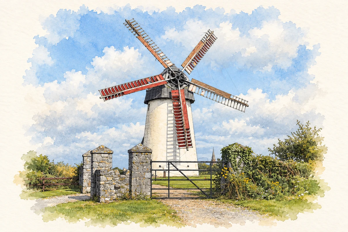
The mills’ institutional history records a partnership between Richard Flynn and Patrick O’Connor in 1837, producing flour and oatmeal. A bakery was added during the following decade. In 1849 the business came under the management of Flynn’s widow, Bridget Ennis. Her role places a named woman at the centre of a local enterprise during the Great Famine. Later owners continued the milling and baking operation before the five-sail windmill ceased working in 1902.[3]
Needles as well as nets
Fishing was only part of the town’s nineteenth-century economy. Lewis records tambour work employing more than seven hundred people, alongside cattle and pig fairs, schools and circulating libraries. Embroidery therefore belonged to the town’s working life on a scale easily missed in a view dominated by boats. The mills’ later restoration and opening as a community heritage centre in 1999 made another local industry a visible part of Skerries’ public history.[2][3]
Folklore & tradition
Patrick’s remembered footprint
Fingal’s heritage service records a strong local tradition linking Patrick with the offshore island and a feature known as his footprint. Its discussion distinguishes that remembered association from the archaeological evidence for medieval religious settlement. The story remains part of Skerries’ local identity; the council also notes its appearance in the name of a local café.[4]
Both counts use the 2016 settlement boundary, allowing like-for-like comparison. CSO supplies the 2022 count on this older boundary for comparison only. The official 2022 Built Up Area has different boundaries.
View population figures
Skerries — Census 2016 settlement footprint — census population
These are the historical areas published in the 2006 census report. Boundaries may differ between censuses and from modern settlements. Legal towns, environs and suburbs are shown separately; none has been combined into a modern settlement total.
View population figures
Skerries, Fingal — Census town, CSO 2006 report — census population
These are the historical areas published in the 1996 census report. Boundaries may differ between censuses and from modern settlements. Legal towns, environs and suburbs are shown separately; none has been combined into a modern settlement total.
View population figures
Skerries, Fingal — Census town, CSO 1996 report — census population
Figures cover the historical town area printed in the 1986 report. Boundaries may have changed between censuses. Legal town, environs and suburb totals remain separate and differ from modern settlement boundaries.
View population figures
Skerries, Dublin — Census town, CSO 1986 report — census population
These figures use different area definitions. Read the boundary note before comparing them.
Skerries, Fingal
Published census settlement populations
10,043people · 2016
Settlement boundaries changed during this period. Differences may reflect boundary changes as well as population change. Where a 2011 legal-town-and-environs count is shown, it has not been recalculated onto the 2016 settlement boundary.
Restored Great Windmill, Skerries Mills, County Dublin illustration: based on a Skerries Windmill by Alan James. AI-assisted watercolour and ink adaptation; cream paper margins added, incidental clutter omitted and fine details simplified. Licence: CC BY-SA 2.0.
 placenames