Calverstown's Georgian demesne and distinctive village houses stand close to Ballyshannon crossroads, the starting point of the 1903 Gordon Bennett motor race.
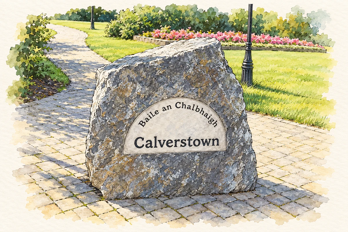
Illustration, Village stone on the green, Calverstown
⊕Recorded locationCalverstown53.08305° N · 6.79729° WInteractive map supplied by OpenStreetMap.
These Irish name elements are associated with this record in the Logainm glossary.
An element’s translation is a clue, rather than a complete explanation of the name. Its form and meaning depend on local history and the full Irish name.
Recorded forms
Baile an Chalbhaigh· Irish · main form · validated name
Calverstown· English · main form
Place & story
A village gathered around the crossroads
Historic maps trace Calverstown's development around a meeting of roads beside the demesne. The 1838 Ordnance Survey showed a small cluster of buildings at the crossroads, with scattered houses along the road leading south. A triangular open space immediately south of the junction survives as the village green. The Georgian Calverstown House stands in landscaped grounds, retaining its symmetrical arrangement, early windows and substantial doorcase. An older ruined house to its south records an earlier phase of occupation on the estate.[2]
The starting line at Ballyshannon
On 2 July 1903 the Gordon Bennett Cup brought international motor racing to the surrounding roads of Kildare, Carlow and Laois. The race began at nearby Ballyshannon crossroads. Teams representing France, Germany, Britain and the United States competed over a figure-of-eight course, with different numbers of laps around its eastern and western loops. Police marshalled the closed roads, while cars followed bicycles through control zones in towns along the route. Belgian driver Camille Jenatzy won for the German team, driving a Mercedes.[3]
Grove Villa and Calverstown Cottage
Grove Villa, built about 1880, is a distinctive house at the crossroads. Its single-storey form incorporates an attic, varied windows and two prominent elevations. Calverstown Cottage, also known as The Forge, dates from about 1910 and uses Gothic forms with a half-dormer attic. The council's architectural survey noted its influence on later buildings nearby. Together these houses give the village a varied architectural character, alongside the smaller cottages on the southern approach and the stone walls marking gardens and property boundaries.[2]
Both counts use the 2016 settlement boundary, allowing like-for-like comparison. CSO supplies the 2022 count on this older boundary for comparison only. The official 2022 Built Up Area has different boundaries.
View population figures
Calverstown — Census 2016 settlement footprint — census population
Calverstown, Kildare — Census town, CSO 2006 report
2002–2006: census town
650people · 2006
These are the historical areas published in the 2006 census report. Boundaries may differ between censuses and from modern settlements. Legal towns, environs and suburbs are shown separately; none has been combined into a modern settlement total.
View population figures
Calverstown, Kildare — Census town, CSO 2006 report — census population
These figures use different area definitions. Read the boundary note before comparing them.
Calverstown, Kildare
Published census settlement populations
699people · 2016
Settlement boundaries changed during this period. Differences may reflect boundary changes as well as population change. Where a 2011 legal-town-and-environs count is shown, it has not been recalculated onto the 2016 settlement boundary.
Village stone on the green, Calverstown illustration: based on a CalverstownStone by jemcmahon. AI-assisted watercolour and ink adaptation; cream paper margins added, incidental clutter omitted and fine details simplified. Licence: Public domain.
 placenames