 placenames
Clongoweswood
Coill Chluana Gabhann
The estate at Clongoweswood became a school in 1814, but excavation has revealed traces of its earlier courtyard buildings.
The name
These Irish name elements are associated with this record in the Logainm glossary.
An element’s translation is a clue, rather than a complete explanation of the name. Its form and meaning depend on local history and the full Irish name.
Recorded forms
- Coill Chluana Gabhann · Irish · main form · validated name
- Clongoweswood · English · main form
- Clongowes Wood · English · main form · local name
Place & story
Castle and college
The Browne family’s estate was known as Castle Browne before the Jesuits restored the Clongowes name in 1814. Its architecture records successive alterations: Stephen Fitzwilliam Browne rebuilt the western front in 1718, while Thomas Wogan Browne added the eastern front and round towers in 1788. Peter Kenney acquired the property for the Jesuits in 1814. The college admitted its first pupil, James McLorinan, on 18 May that year. [2]
Illness and expansion
An outbreak of typhus forced the college to close for six months in 1819. During the interruption, rector Charles Aylmer began an extensive building programme. One of the resulting buildings, originally classrooms and a dormitory, became a chapel in 1822. After a new Boys’ Chapel opened in 1907, the earlier chapel became known as the People’s Church and served the surrounding community. [2]
Beneath the courtyard
Edmond O’Donovan’s excavation in 2002 found a ditch beneath the kitchen range and walls predating the college’s development. A wall below the refectory demonstrated that outbuildings occupied the courtyard before the school was established. A well and culvert added evidence of the practical water supply and drainage arrangements within the estate. The report leaves the earliest ditch dated only by its relationship to later structures. [3]
Geographic information
- Place type
- Population centre
- County
- Kildare
- Barony
- Ikeathy and Oughterany
- Civil parish
- Mainham
- Within
- Castlebrown or Clongowes
- Coordinates
- 53.30415, -6.69480 (approximate)
- Logainm ID
- 128515 ↗
Sources & further reading
- Logainm.ie — Clongoweswood. Place names and geographic record, licensed under CC BY 4.0.
- Clongowes History — A Short History of Clongowes Wood College · Brendan Cullen / Clongowes Wood College
- 2002:0896 — Clongowes Wood College, Castlebrown/Clongowes, Kildare · Edmond O’Donovan, Margaret Gowen & Co. Ltd. / Excavations.ie
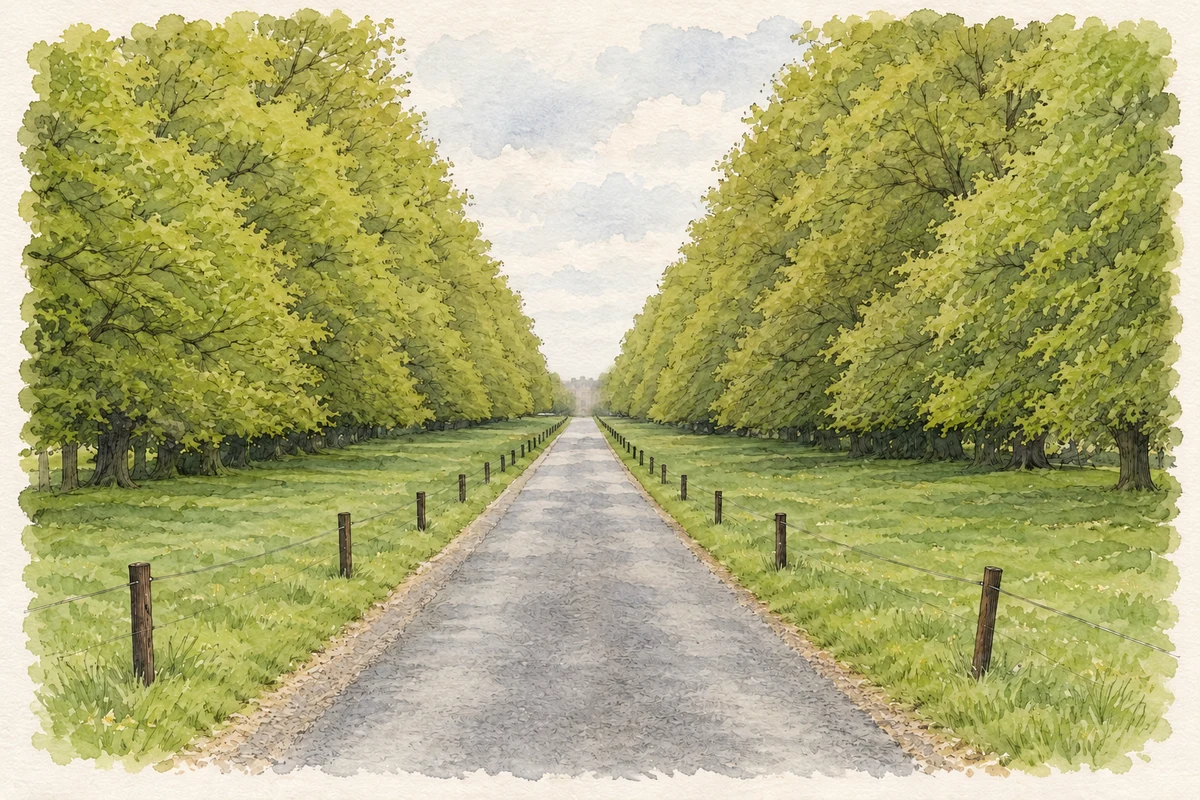
- Tree-lined avenue, Clongowes Wood College illustration: based on a Clongowes Wood College by Sarah777. AI-assisted watercolour and ink adaptation; cream paper margins added, incidental clutter omitted and fine details simplified. Licence: CC BY-SA 2.0.
Name record retrieved 2026-10-25 · Source record modified 2026-09-23. How this page was prepared.