 placenames
Ballineen
Béal Átha Fhínín
Ballineen’s surviving nineteenth-century buildings record the practical spaces of travel, worship and trade along the Bandon valley.
The name
These Irish name elements are associated with this record in the Logainm glossary.
An element’s translation is a clue, rather than a complete explanation of the name. Its form and meaning depend on local history and the full Irish name.
Recorded forms
- Béal Átha Fhínín · Irish · main form · validated name
- Ballineen · English · main form
- Ballyneen · English · main form · local name
Place & story
A station shared with Enniskeane
The former Ballineen and Enniskean station was built in 1891. Its two-storey station-master’s accommodation stands beside a lower ticket office, combining domestic and railway functions within the same group. Red-brick window surrounds and quoins contrast with stone and rendered walls, while carved bargeboards finish the gables. The architectural inventory records much of the building’s earlier form and fabric. The shared station’s name preserves the relationship between two neighbouring villages that developed along the same transport corridor. [2]
The Earl of Bandon’s foundation stone
Francis Bernard, third Earl of Bandon, laid the foundation stone of Ballineen’s Wesleyan chapel on 4 October 1870. Reverend Wesley Guard formally opened it on 19 October 1871. The architectural inventory cites contemporary newspaper reports for those dates. The church replaced an earlier Methodist chapel dating from 1823. Its compact rectangular plan, pointed windows and projecting entrance porch gave the congregation a new building while continuing a religious presence established in the village almost half a century earlier. [3]
An hotel becomes shops and a home
The Arcade on Main Street began as a hotel around 1860. Its three-storey frontage incorporates a carriage arch, evidence of the access needed by an earlier hospitality business. Later use as a shop and house retained a timber shopfront, sash windows and slate roof. Moulded surrounds and horizontal bands distinguish the upper floors. The building’s scale and central position make it a conspicuous part of Ballineen’s main street, preserving an older commercial frontage through changes in occupation. [4]
Geographic information
- Place type
- Town
- County
- Cork
- Barony
- Carbery East (E.D.)
- Civil parish
- Ballymoney
- Within
- Ballymoney
- Within
- Derrigra
- Coordinates
- 51.73887, -8.93701
- Logainm ID
- 129418 ↗
Sources & further reading
- Logainm.ie — Ballineen. Place names and geographic record, licensed under CC BY 4.0.
- Ballineen and Enniskean Railway Station, record 20910904 · National Inventory of Architectural Heritage
- Ballineen Methodist Church, record 20843012 · National Inventory of Architectural Heritage
- Arcade, Main Street, record 20843016 · National Inventory of Architectural Heritage
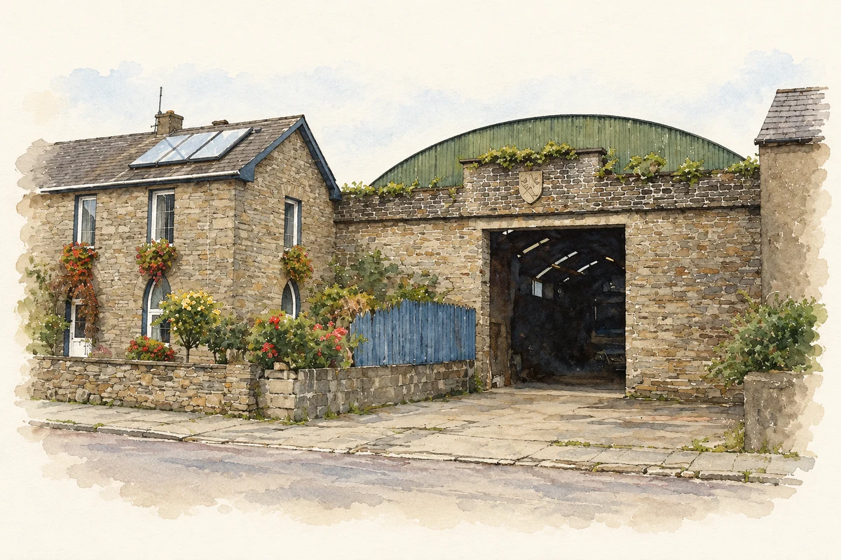
- Former Market House entrance, Ballineen illustration: based on a Former Market House, Ballineen - geograph.org.uk - 6431273.jpg by Jonathan Thacker. AI-assisted watercolour and ink adaptation; cream paper margins added, incidental clutter omitted and fine details simplified. Licence: CC BY-SA 2.0; adapted illustration distributed under the same licence.

Name record retrieved 2026-10-25 · Source record modified 2025-01-10. How this page was prepared.