 placenames
Ballinhassig
Béal Átha an Cheasaigh
Ballinhassig’s bridge and railway remains record changes in transport, while parliamentary debate preserves a contemporary response to the fatal police shooting at its fair.
The name
These Irish name elements are associated with this record in the Logainm glossary.
An element’s translation is a clue, rather than a complete explanation of the name. Its form and meaning depend on local history and the full Irish name.
Recorded forms
- Béal Átha an Cheasaigh · Irish · main form · validated name
- Ballinhassig · English · main form
Place & story
The older road crossing
Ballinhassig Bridge over the Owenboy River dates from around 1760. Its two cambered arches have dressed stone surrounds, with triangular cutwaters on the western face. The northern arch is partly blocked and carries a stone-lined feeder channel, an unusual adaptation within the crossing. The National Inventory of Architectural Heritage notes that a bridge appears here on Taylor and Skinner’s 1783 maps as part of the road between Cork and Kinsale. [2]
A temporary railway terminus
The railway from Bandon reached Ballinhassig in 1849, but the village remained its eastern terminus until the line to Cork was completed in December 1851. Immediately east of the station lay the 906-yard Gogginshill Tunnel. The station had two platforms, a wooden building and signal cabin on one side and the stationmaster’s house on the other. After the West Cork lines closed in March 1961, platforms and the brick base of the signal cabin survived. [3]
The fatal shooting in Parliament
On 4 July 1845 the House of Commons discussed deaths at Ballinhassig following a confrontation during a fair. Sir Thomas Fremantle reported that police had fired after an attempted rescue of a prisoner, while acknowledging that he lacked the full details. Richard Lalor Sheil asked whether an inquiry had been ordered. Fremantle replied that a coroner’s inquest was forthcoming and further investigation could follow. The exchange records the government’s early explanation, rather than resolving responsibility for the deaths. [4]
Geographic information
- Place type
- Population centre
- County
- Cork
- Barony
- Kerrycurrihy
- Civil parish
- Ballinaboy
- Within
- Ballygarvan
- Within
- Tullig More
- Coordinates
- 51.80919, -8.53652 (approximate)
- Logainm ID
- 129420 ↗
Sources & further reading
- Logainm.ie — Ballinhassig. Place names and geographic record, licensed under CC BY 4.0.
- Ballinhassig Bridge, Tullig More, 20909801 · National Inventory of Architectural Heritage
- Ballinhassig station · Eiretrains
- Affray at Ballinhassig, House of Commons, 4 July 1845, vol82 cc14–15 · UK Parliament, Hansard
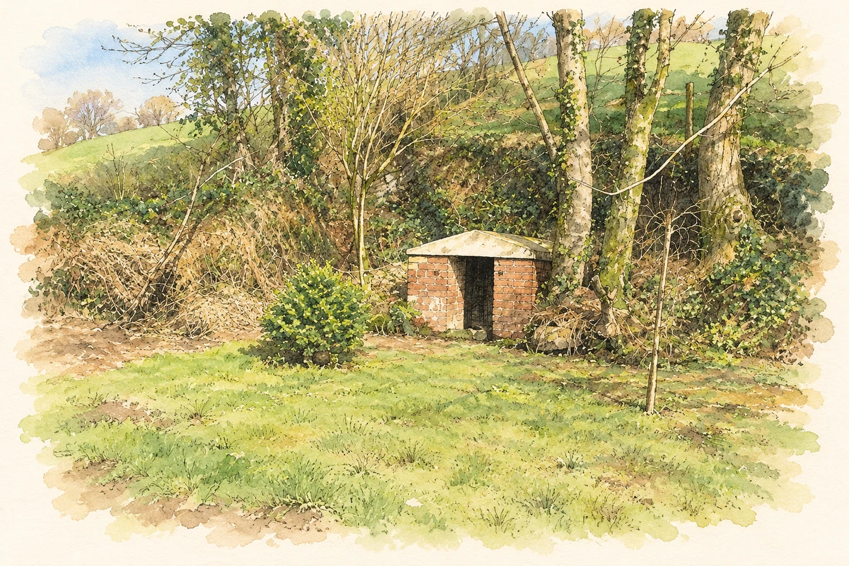
- Holy wellhouse, Ballinhassig, County Cork illustration: based on a Holy Well (7 March 2012) by Hywel Williams. AI-assisted watercolour and ink adaptation; cream paper margins added, incidental clutter omitted and fine details simplified. Licence: CC BY-SA 2.0.
Name record retrieved 2026-10-25 · Source record modified 2025-01-10. How this page was prepared.