Belgooly's large mill records a change from flour production to distilling, while the district's show preserves a separate history of farming and community organisation.
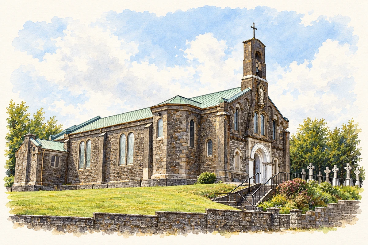
Illustration, Sacred Heart Church, Belgooly
⊕Recorded locationBelgooly51.73830° N · 8.48329° WInteractive map supplied by OpenStreetMap.
These Irish name elements are associated with this record in the Logainm glossary.
An element’s translation is a clue, rather than a complete explanation of the name. Its form and meaning depend on local history and the full Irish name.
Recorded forms
Béal Guala· Irish · main form · validated name
Belgooly· English · main form
Place & story
The flour mill that became a distillery
Belgooly's imposing six-storey mill was built in 1832. Its six-bay frontage, rubble-stone walls and dressed corner stones preserve the scale of an enterprise that dominated the village. In the 1870s the site became a distillery, and the former flour mill served as a corn store. A two-storey adjoining range includes a carriage arch framed in brick. Although now roofless and ruinous, the surviving complex records several uses of the same industrial site and the substantial buildings required for processing and storing agricultural produce.[2]
What survives beyond the standing walls
An archaeological assessment in 2006 compared maps and pictures with the ground around Belgooly Mill. It identified former mill buildings south-east of the standing structure, but test trenches found that this area had been heavily disturbed. Modern fill and removed building rubble had altered the levels, and no earlier features were found in the investigated ground. The report helps explain the difference between the larger complex shown in historical sources and the tall shell visible today: some parts survive above ground, while others have been levelled or disturbed.[3]
The show first imagined in 1941
The organisers of Belgooly's agricultural show trace its beginnings to a proposal made in 1941 by Marigold Slowcock and John Dix. The 80 thshow, on 30 May 2026, included a historical display of photographs, news reports and earlier programmes. Livestock judging and domestic competitions brought farming, craft and household skills into the same event. The organisers'account also records the work of volunteers preparing the grounds, serving refreshments and managing exhibits. The show's history gives Belgooly another local institution alongside the mill, rooted in the wider district's farming community and sustained through repeated voluntary effort.[4]
Both counts use the 2016 settlement boundary, allowing like-for-like comparison. CSO supplies the 2022 count on this older boundary for comparison only. The official 2022 Built Up Area has different boundaries.
View population figures
Belgooly — Census 2016 settlement footprint — census population
These are the historical areas published in the 2006 census report. Boundaries may differ between censuses and from modern settlements. Legal towns, environs and suburbs are shown separately; none has been combined into a modern settlement total.
View population figures
Belgooly, Cork — Census town, CSO 2006 report — census population
These figures use different area definitions. Read the boundary note before comparing them.
Belgooly, Cork
Published census settlement populations
826people · 2016
Settlement boundaries changed during this period. Differences may reflect boundary changes as well as population change. Where a 2011 legal-town-and-environs count is shown, it has not been recalculated onto the 2016 settlement boundary.
 placenames