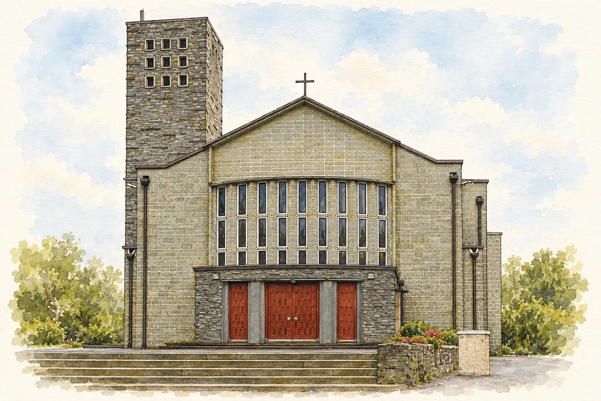
Drimoleague's surviving station and striking All Saints church mark two periods of change. Walking routes and a singing festival connect the village with its surrounding landscape and fair-day traditions.
Illustration, All Saints Church, Drimoleague
⊕Recorded locationDrimoleague51.65920° N · 9.26521° WInteractive map supplied by OpenStreetMap.
These Irish name elements are associated with this record in the Logainm glossary.
An element’s translation is a clue, rather than a complete explanation of the name. Its form and meaning depend on local history and the full Irish name.
Recorded forms
Drom Dhá Liag· Irish · main form · validated name
Drimoleague· English · main form
Place & story
A station built in corrugated iron
Drimoleague's former railway station dates from 1899. Its corrugated-iron walls and overhanging roof distinguish it from the masonry stations familiar elsewhere. Cast-iron brackets support the roof overhang, while the platform combines red brick with concrete coping. The building was part of the railway infrastructure that connected the village with the wider West Cork network.[2]
All Saints and Frank Murphy
Cork architect Frank Murphy designed All Saints church, built between 1954 and 1956. Architectural historian Richard Butler's research identifies it as a major example of modern church design in the diocese. Its art includes Harry Clarke Studios stained glass and an unusual sanctuary mural depicting parishioners and the parish priest within scenes of Christ's suffering and resurrection. The project also required sustained local fundraising. Carnivals, a raffle, dramatic performances and other events formed part of the effort to finance the new church.[3]
The Top of the Rock
Above the village, the Top of the Rock walk follows part of the old butter road and passes remains of Famine-era dwellings. The route also reaches the River Ilen and recalls the older village site. The Sheep's Head Way organisation identifies the place with Saint Finbarr, the Big Fairs and a visit by Jeremiah O'Donovan Rossa. These associations sit within a landscape that can still be followed on foot, with riverbank, fields and the old road connecting its different elements.[4]
From cattle fairs to singing
In 1837 Samuel Lewis listed three annual fairs at Drimoleague, held on 20 May, 25 September and 27 October, principally for cattle, sheep and pigs. The late-September gathering remained locally remembered as Big Fair Day. The community-run singing festival chose a weekend close to Saint Finbarr's feast on 25 September, explicitly recalling that fair. Its programme brings concerts, informal sessions and singing workshops into village venues, giving the old gathering season a new cultural expression.[6][5]
Both counts use the 2016 settlement boundary, allowing like-for-like comparison. CSO supplies the 2022 count on this older boundary for comparison only. The official 2022 Built Up Area has different boundaries.
View population figures
Drimoleague — Census 2016 settlement footprint — census population
These are the historical areas published in the 2006 census report. Boundaries may differ between censuses and from modern settlements. Legal towns, environs and suburbs are shown separately; none has been combined into a modern settlement total.
View population figures
Drimoleague, Cork — Census town, CSO 2006 report — census population
These are the historical areas published in the 1996 census report. Boundaries may differ between censuses and from modern settlements. Legal towns, environs and suburbs are shown separately; none has been combined into a modern settlement total.
View population figures
Drimoleague, Cork — Census town, CSO 1996 report — census population
Figures cover the historical town area printed in the 1986 report. Boundaries may have changed between censuses. Legal town, environs and suburb totals remain separate and differ from modern settlement boundaries.
View population figures
Drimoleague, Cork — Census town, CSO 1986 report — census population
These figures use different area definitions. Read the boundary note before comparing them.
Drimoleague, Cork
Published census settlement populations
451people · 2016
Settlement boundaries changed during this period. Differences may reflect boundary changes as well as population change. Where a 2011 legal-town-and-environs count is shown, it has not been recalculated onto the 2016 settlement boundary.
 placenames