 placenames
Ballynease
Baile Naosa
Ballynease’s history survives in a school dispute that reached Westminster, a later school building and research on the surrounding field systems.
The name
These Irish name elements are associated with this record in the Logainm glossary.
An element’s translation is a clue, rather than a complete explanation of the name. Its form and meaning depend on local history and the full Irish name.
Recorded forms
- Baile Naosa · Irish · main form · validated name
- Ballynease · English · main form
Place & story
A school amalgamation reversed
The proposed merger of Ballynease's boys' and girls' national schools reached the House of Commons in 1905. The government reported that education commissioners had ordered amalgamation on 21 June 1904 but withdrew the order on 8 November after the school manager objected. Asked to publish the correspondence, the government declined because the case was settled. The exchange documents a local challenge to changes in school organisation. [2]
Ballynease Elementary School becomes Saint John Bosco
Ballynease Elementary School opened in 1936 with two classrooms. It was rededicated in 2004 as Saint John Bosco Primary School. The school's own account records later classroom extensions and an assembly hall also used for dining, alongside playing space and gardens. These changes show the continuing development of an institution serving the rural community around Ballynease and Bellaghy, rather than the survival of an unchanged 1930s building. [3]
Surviving traces of rundale
In his 1950 study of Irish field systems, Desmond McCourt identified remnants of rundale in the Ballynease area. He recorded particularly extensive survival near the Culbane settlement in Ballynease Macpeake and traces at Purse's Town in Ballynease Helton. His field research preserves evidence of an older agricultural landscape of clustered settlement and open fields, before later consolidation and enclosure made those arrangements harder to recognise. [4]
Geographic information
- Place type
- Population centre
- County
- Derry
- Barony
- Loughinsholin
- Civil parish
- Ballyscullion
- Coordinates
- 54.83834, -6.49009 (approximate)
- Logainm ID
- 129712 ↗
Sources & further reading
- Logainm.ie — Ballynease. Place names and geographic record, licensed under CC BY 4.0.
- Bellaghy Schools,HouseofCommons29May1905 · UK Parliament,Hansard
- Vision,missionandvalues: school history · Saint John Bosco Primary School
- The rundale system in Ireland: a study of its geographical distribution and social relations,PhD1950,p.147 · Desmond McCourt,Queen’s University Belfast
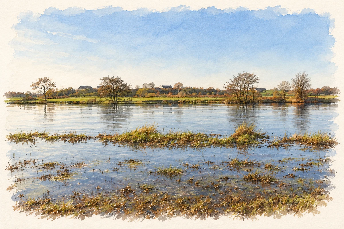
- River Bann at Ballynease-Macpeake, near Ballynease illustration: based on a The Bann at Ballynease-macpeake by Kenneth Allen. AI-assisted watercolour and ink adaptation; cream paper margins added, incidental clutter omitted and fine details simplified. Licence: CC BY-SA 2.0.
Name record retrieved 2026-10-25 · Source record modified 2010-04-19. How this page was prepared.