 placenames
Ebrington
Ebrington’s surviving military buildings and Victorian church give the Foyle’s east bank a distinctive historic setting.
The name
A reliable full-name meaning has not been established here. The recorded Irish and English forms are given without an unsupported translation.
Recorded forms
- Ebrington · Irish · main form · validated name
- Ebrington · English · main form
Place & story
The star fort
Ebrington’s northern defences belong to the star fort built around the barracks in the 1840s. The Historic Environment Division records local schist walls, projecting bastions and former rifle openings later blocked with masonry. The layout follows the steep ground above the Foyle. These walls are recorded as part of a scheduled monument; their protection should not be confused with an individual listed-building designation. [2]
The church across the road
Ebrington Presbyterian Church opened on 3 October 1897, designed by William Barker. Its classical front rises above a broad flight of steps on Limavady Road, facing the barracks. The adjoining hall, completed in 1899 under M. A. Robinson’s supervision, served as a day school from 1901 until December 1960, when a new school building opened nearby. [3]
A new use for the parade ground
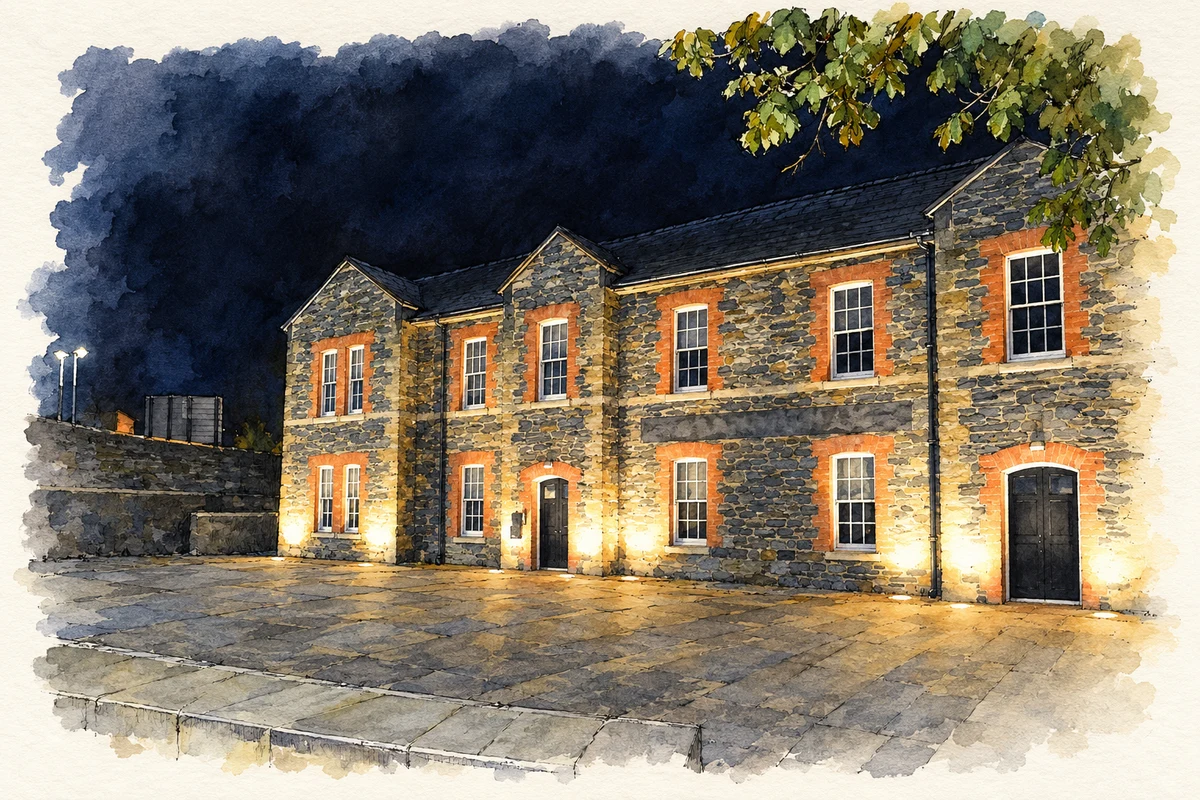
The former parade ground became Ebrington Square, an outdoor event space within the Executive Office’s regeneration of the 29-acre site. Former military buildings have acquired civilian uses, including hotel accommodation in the officers’ and soldiers’ quarters and offices in former accommodation blocks. The square’s open centre retains the spatial relationship between the barracks buildings. [4]
Geographic information
- Place type
- Population centre
- County
- Derry
- Civil parish
- Templemore
- Coordinates
- 54.99851, -7.31239 (approximate)
- Logainm ID
- 129747 ↗
Sources & further reading
- Logainm.ie — Ebrington. Place names and geographic record, licensed under CC BY 4.0.
- Ebringtonnorthernfortifications,HB01/09/002X,survey2003 · Historic Environment Division
- EbringtonPresbyterianChurch,HB01/07/007A,survey2014 · Historic Environment Division
- Ebrington:regenerationandbuildings · The Executive Office
- Cunningham Building, Ebrington Square, as photographed in 2021 illustration: based on a Cunningham Building, Ebrington Square by N Chadwick. AI-assisted watercolour and ink adaptation; cream paper margins added, incidental clutter omitted and fine details simplified. Licence: CC BY-SA 2.0.
Name record retrieved 2026-10-25 · Source record modified 2010-04-19. How this page was prepared.