These Irish name elements are associated with this record in the Logainm glossary.
An element’s translation is a clue, rather than a complete explanation of the name. Its form and meaning depend on local history and the full Irish name.
Recorded forms
An Mhagh· Irish · main form · validated name
Eglington· English · main form
Eglinton· English · main form
Place & story
The village Lewis called Muff
The settlement now generally known as Eglinton appears as Muff in Lewis’s 1837 directory. The Grocers’ Company had established a fortified plantation settlement here. After resuming direct estate management in 1819, the company rebuilt the village with spacious streets and substantial houses. A court and market house, a dispensary and accommodation for poor widows belonged to the improved settlement.[2]
People & connections
Plans for the village inn
The Manor House was part of this rebuilding campaign. William Campbell received payment for plans in 1825, though the historic-building record leaves open whether he acted as architect or draughtsman. Charles Warner, the company’s agent, and surveyor Richard Fowler were also associated with the wider village designs. Intended as an inn, the house never opened for that purpose; a visiting company deputation used it as headquarters in 1827.[3]
House, courtyards and later additions
The building became accommodation for company agents before conversion to a single dwelling in 1877. A castellated rear extension and water tower were added around 1900. Outbuildings around two courtyards, gates, walls and railings form part of the surviving group. They preserve both its formal street presence and the service spaces supporting occupation.[3]
Learning practical farming
The company supported an agricultural school at Templemoyle with neighbouring landowners. Lewis records land set aside for farming experiments and free places for pupils, connected with a classical school at Fallowlee. The programme placed education within the estate’s wider effort to improve agriculture and management across its townlands.[2]
Both censuses use the same 2015 settlement boundary. These exact counts cover usual residents in the settlement, rather than local government districts or historic counties. Other NISRA tables may use approximate counts.
View population figures
EGLINTON — Settlement 2015 (N11000244) — census population
The census used a grid rectangle around the built-up area, rather than today’s settlement boundary. The 1981 figures are as enumerated, without adjustment for non-enumeration. These counts remain separate from later settlement totals.
View population figures
Eglington — census rectangle C510190 to C540210 — census population
The published 2001 KS01 settlement count uses an earlier geography and disclosure-control methods. It is not rebased to the 2015 settlement used for 2011 and 2021. The geographic matching file can contain a different 2001 count; the figure shown here comes from KS01.
View population figures
Eglinton — KS01 Settlement (2005 geography) — census population
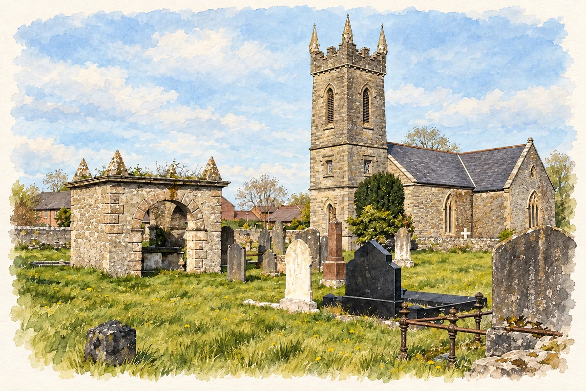
St Canice's Church, Eglinton illustration: based on a Church in Eglinton by Kay Atherton. AI-assisted watercolour and ink adaptation; cream paper margins added, incidental clutter omitted and fine details simplified. Licence: CC BY-SA 2.0.
 placenames