These Irish name elements are associated with this record in the Logainm glossary.
An element’s translation is a clue, rather than a complete explanation of the name. Its form and meaning depend on local history and the full Irish name.
Recorded forms
Droichead na Banna· Irish · main form · validated name
Banbridge· English · main form
Place & story
A public building at the crossroads
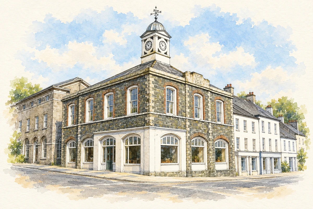
Banbridge’s former market house was built in 1833–1834 as a commercial, judicial and social centre, according to the Department for Communities building history. Its position at the intersection of the town’s principal streets made it a conspicuous civic building. Later changes of use extended the building’s public life, while its location continued to make it a focal point in the town centre.[2]
Keeping traffic in the town
The building history also connects Banbridge’s changing centre with the construction of a broad Dublin–Belfast road. The steep hill threatened to send through traffic elsewhere. Local efforts, assisted by a grant from the Marquess of Downshire, produced the excavated route known as the Cut. The market house and altered road should be read together: a town dependent on exchange reshaped its physical centre to retain passing business and remain connected with a larger transport network.[2]
A bridge and an excavated street
The town-centre masterplan dates the bridge over the Bann to 1712 and links it with the development of linen manufacture and bleaching grounds along the river. It identifies William Dargan as the builder of the Cut in 1834. The excavation made the main route easier for coaches by avoiding the steep ascent through the town. The surviving split-level street is consequently a piece of transport engineering as well as an unusual view. The Downshire Arms Hotel, dated 1816 in the same account, belongs to the world of travel and hospitality around that route.[5]
People & connections
A sculptor remembered in his birthplace
Frederick Edward McWilliam was born in Banbridge in 1909. After study in Belfast and at the Slade in London, he worked in Paris and became associated with Surrealism. His sculpture later responded to violence in Northern Ireland, bringing a very different perspective to a town often described through linen and road building. He died in London in 1992. His executors donated his studio and its contents to Banbridge, and the gallery and studio dedicated to him preserves that connection. The artist’s career was international, while his birthplace supplied the reason for this particular home for his work.[6][7]
Both censuses use the same 2015 settlement boundary. These exact counts cover usual residents in the settlement, rather than local government districts or historic counties. Other NISRA tables may use approximate counts.
View population figures
BANBRIDGE — Settlement 2015 (N11000131) — census population
The report states that these figures use the district as constituted in 1926. This is a historical urban administrative area, separate from the modern settlement boundary and usual-resident population.
View population figures
Banbridge Urban District — 1926 boundary — census population
The census used a grid rectangle around the built-up area, rather than today’s settlement boundary. The 1981 figures are as enumerated, without adjustment for non-enumeration. These counts remain separate from later settlement totals.
View population figures
Banbridge — census rectangle J110440 to J140480 — census population
The published 2001 KS01 settlement count uses an earlier geography and disclosure-control methods. It is not rebased to the 2015 settlement used for 2011 and 2021. The geographic matching file can contain a different 2001 count; the figure shown here comes from KS01.
View population figures
Banbridge — KS01 Settlement (2005 geography) — census population
Banbridge Market House illustration: based on a reference photograph by HENRY CLARK. AI-assisted watercolour and fine ink adaptation; warm cream paper margins; incidental clutter removed and architectural details simplified. Licence: CC BY-SA 2.0.
 placenames