 placenames
Bloomfield
Bláthghort
Bloomfield’s growth in east Belfast can be traced through its bakery, a school begun in a family home and neighbourhood mission meetings.
The name
A reliable full-name meaning has not been established here. The recorded Irish and English forms are given without an unsupported translation.
Recorded forms
- Bláthghort · Irish · main form · validated name
- Bloomfield · English · main form
Place & story
Bread for the growing city
The New Public Bakery Company opened on Bloomfield Avenue in 1880. It became Bloomfield Bakery in 1894 before Inglis took it over in 1933. The EastSide heritage trail places the business among the industries supplying a rapidly expanding working city. Inglis became particularly associated with its delivery fleet; one of its motor vans survives in the Ulster Folk and Transport Museum. The bakery’s successive names preserve a local commercial history within a larger Belfast firm. [2]
Annie Begley’s school
Bloomfield Collegiate began in 1905 at Merchiston, the Begley family’s home on Beersbridge Road. Annie Begley was its first principal, and her father George supervised the boys in what was initially a mixed school. The school moved to Upper Newtownards Road the following year. Music, elocution and Saturday violin lessons featured from its early years. Nannie Walker became headmistress in 1912 and was succeeded by her sister Beth in 1920, continuing a history strongly shaped by women teachers. [3]
From cottage meetings to a mission hall
Belfast City Mission traces its Bloomfield work to services held in the national school around 1894. After the Presbyterian congregation moved to its meeting house in December 1898, smaller meetings continued, eventually gathering in houses in Steens Row, Bloomfield Street and East Bread Street. Edwin Logan became the district’s first appointed missionary. The work moved to East Bread Street in 1922, where a hall opened in August 1923. Its beginnings show religious activity developing through domestic rooms and borrowed premises before acquiring a dedicated building. [4]
Geographic information
- Place type
- Population centre
- County
- Down
- Barony
- Castlereagh Lower
- Civil parish
- Holywood
- Coordinates
- 54.58687, -5.89600 (approximate)
- Logainm ID
- 130046 ↗
Sources & further reading
- Logainm.ie — Bloomfield. Place names and geographic record, licensed under CC BY 4.0.
- East Belfast’s Industrial Heartland: Inglis Bakery · EastSide heritage trail
- School History · Bloomfield Collegiate School
- Bloomfield: A History of Bloomfield Hall · Belfast City Mission
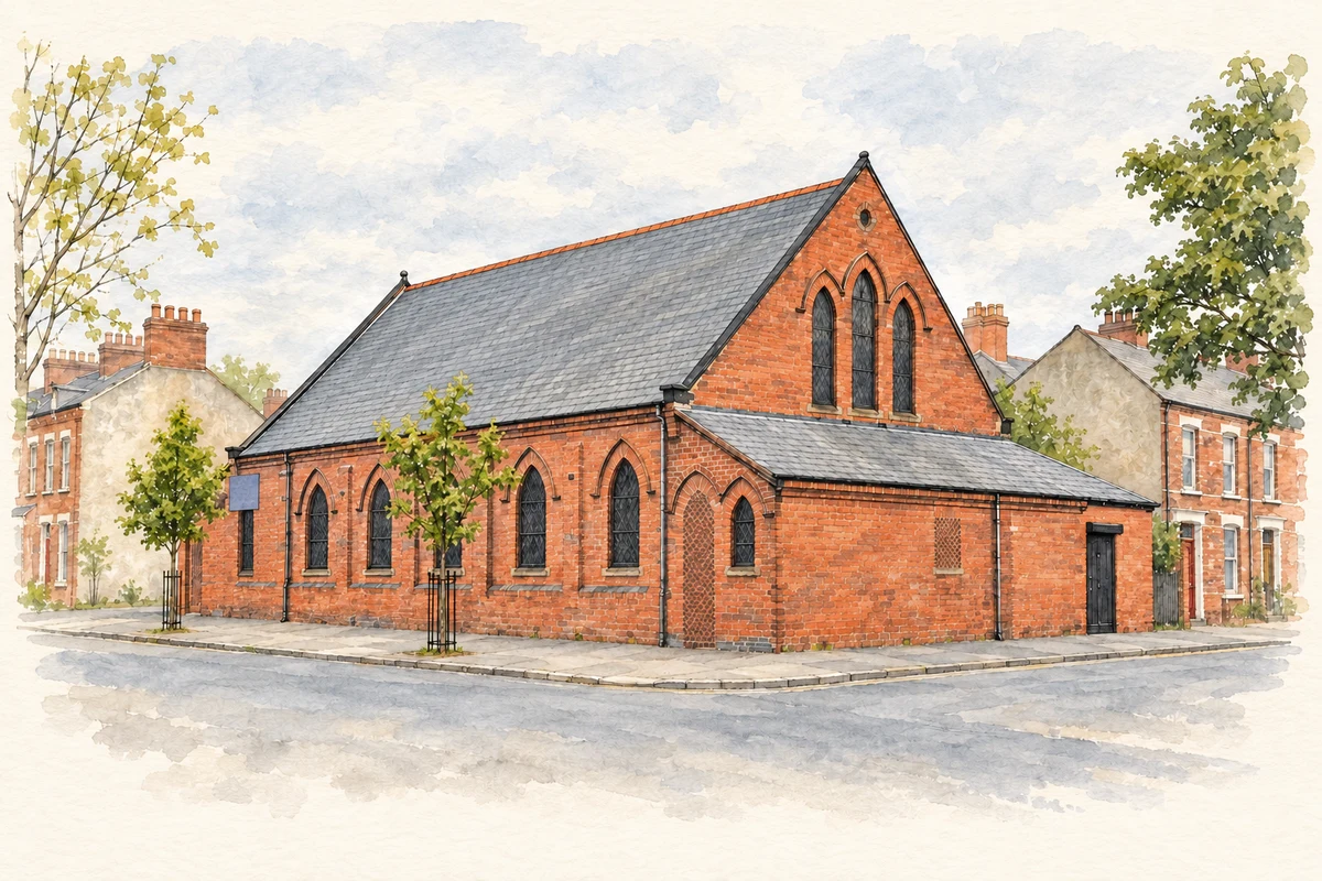
- Congregational church, Bloomfield, 2011 illustration: based on a Bloomfield Congregational church, Belfast (2011) by Albert Bridge. AI-assisted watercolour and ink adaptation; cream paper margins added, incidental clutter omitted and fine details simplified. Licence: CC BY-SA 2.0.
Name record retrieved 2026-10-25 · Source record modified 2019-10-08. How this page was prepared.