 placenames
Bryansford
Áth Bhriain
Bryansford’s church and the ornamental entrances of neighbouring Tollymore show how village life developed alongside a landscaped estate. Their surviving stonework also records generations of alteration and conservation.
The name
These Irish name elements are associated with this record in the Logainm glossary.
An element’s translation is a clue, rather than a complete explanation of the name. Its form and meaning depend on local history and the full Irish name.
Recorded forms
- Áth Bhriain · Irish · main form · validated name
- Bryansford · English · main form
Place & story
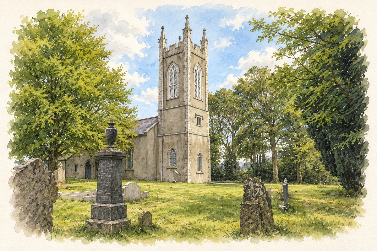
A church built for the estate community
The official historic building record dates Bryansford’s Church of Ireland church to 1712. Ann Hamilton built it as a chapel of ease for local farmers, tenants and estate workers after taking responsibility for the Tollymore estate. The tower was added in 1812, followed by a sanctuary and private pew in 1833 and a vestry in 1841. Its familiar outline therefore combines several building campaigns. [2]
The gateway’s carefully framed view
The Bryansford Gate at Tollymore was erected in 1786. Its three arches, granite pinnacles and flying buttresses make it much more elaborate than a simple estate entrance. The Follies Trust guide explains how the central opening frames the spire of the estate’s mock-church barn, with mountains beyond. Although the route passed the working barn and stables, the gate also created a deliberately composed view into the landscape. [3]
Follies along the boundary wall
Along Tollymore’s northern boundary near Bryansford, Lord Limerick’s Follies turn a wall into a sequence of ornamental structures. Their forms include a pyramid, conical gateposts and a tall spire that marked the boundary between the Clanbrassill and Downshire estates. The Follies Trust conserved three of these structures in 2010 in memory of conservation architect Dick Oram, with support from his family, friends and colleagues. [3]
Geographic information
- Place type
- Population centre
- County
- Down
- Barony
- Iveagh Upper, Lower Half
- Civil parish
- Kilcoo
- Coordinates
- 54.22826, -5.94497 (approximate)
- Logainm ID
- 130051 ↗
Sources & further reading
- Logainm.ie — Bryansford. Place names and geographic record, licensed under CC BY 4.0.
- Kilcoo Church of Ireland Parish Church, Bryansford, HB18/13/013 · Department for Communities, Historic Buildings Database
- Tollymore Park: a guide to the follies and garden buildings, pages 2 and 5 · Primrose Wilson, drawing on James Howley; Follies Trust
- Kilcoo parish church, Bryansford illustration: based on a Kilcoo parish church, Bryansford by Albert Bridge. AI-assisted watercolour and ink adaptation; cream paper margins added, incidental clutter omitted and fine details simplified. Licence: CC BY-SA 2.0. Additional reference: Kilcoo Parish Church (CoI), Bryansford by Eric Jones, CC BY-SA 2.0.
Name record retrieved 2026-10-25 · Source record modified 2019-10-08. How this page was prepared.