 placenames
Chapeltown
Baile an tSéipéil
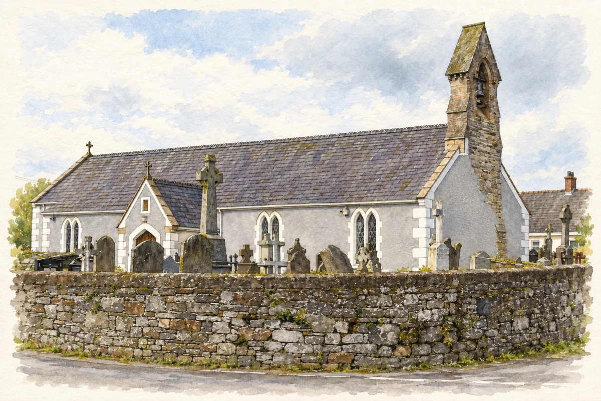
At Chapeltown’s meeting of roads, Saint Mary’s Church brings together the history of its eighteenth-century congregation and objects preserved from older local churches.
The name
These Irish name elements are associated with this record in the Logainm glossary.
An element’s translation is a clue, rather than a complete explanation of the name. Its form and meaning depend on local history and the full Irish name.
Recorded forms
- Baile an tSéipéil · Irish · main form · validated name
- Chapeltown · English · main form
Place & story
Saint Mary’s at the crossroads
Saint Mary’s Catholic Church was built at the meeting of five roads in 1791 under the Reverend Edward Mulholland, who is buried in its graveyard. The parish’s history describes him gathering artefacts from medieval churches for the new building. This gives the church a role beyond its own congregation: it became a place where material from earlier religious sites in the surrounding district was preserved. [2]
Objects from older churches
The parish identifies a cross above the porch as coming from Ardtole, and two fonts beside the path as originating at Dunsford and Tollumgrange. Under the steeple is the restored statue known as Our Lady of Dunsford. The parish dates it to around 1300 and records restoration by Francis Joseph Bigger in 1908, after its fragments had been recovered. These objects connect the present church with several distinct medieval sites. [2]
The growth of Chapeltown and Dunsford
The council’s January 2018 village plan describes Chapeltown and Dunsford as closely related settlements whose development long retained a clustered agricultural form. It identifies Saint Mary’s and the crossroads pub as important focal points. Between the mid-1950s and mid-1980s, housing beside Strangford Road added a new element to the village, followed by the primary school opposite St Michael’s Park. The plan records the gradual growth of a rural service centre around its older crossroads. [3]
Geographic information
- Place type
- Population centre
- County
- Down
- Barony
- Lecale Lower
- Civil parish
- Dunsfort
- Coordinates
- 54.28457, -5.58889 (approximate)
- Logainm ID
- 130058 ↗
Sources & further reading
- Logainm.ie — Chapeltown. Place names and geographic record, licensed under CC BY 4.0.
- Parish History: Saint Mary’s Church · Dunsford and Ardglass Parish
- Chapeltown & Dunsford and Coney Island Village Renewal Plan, January 2018 · Newry, Mourne and Down District Council
- Saint Mary’s Church, Chapeltown illustration: based on a St Mary's Catholic Church, Chapeltown by Eric Jones. AI-assisted watercolour and ink adaptation; cream paper margins added, incidental clutter omitted and fine details simplified. Licence: CC BY-SA 2.0. Additional reference: St Mary's Catholic Church, Churchtown from the A2 by Eric Jones, CC BY-SA 2.0.
Name record retrieved 2026-10-25 · Source record modified 2019-10-08. How this page was prepared.